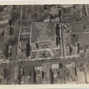
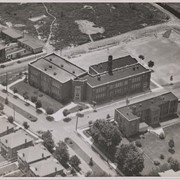
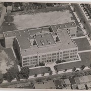
Photograph- Aerial view of Lancaster Boys' High School. Shreiner's Cemetery is just behind the school. Also shows St. John's Reformed Church. All are on West Orange Street.
Photograph- Aerial view of Lancaster Boys' High School. Shreiner's Cemetery is just behind the school. Also shows St. John's Reformed Church. All are on West Orange Street.
Description
Aerial view of Lancaster Boys' High School. Shreiner's Cemetery is just behind the school. Also shows St. John's Reformed Church. All are on West Orange Street.
Provenance
Donated by Jessie Jones Eckhart, daughter of pilot Jesse Jones of Lancaster.
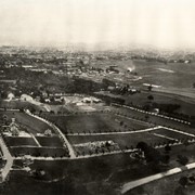
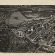
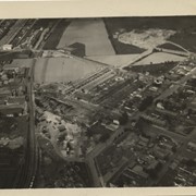
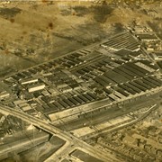
Photograph- Aerial view of eastern portion of Lancaster city showing Wickersham School in upper center and future site of McCaskey High School on its left.
Photograph- Aerial view of eastern portion of Lancaster city showing Wickersham School in upper center and future site of McCaskey High School on its left.
Description
Aerial view of eastern portion of Lancaster city showing Wickersham School in upper center and future site of McCaskey High School on its left.
Provenance
Donated by Jessie Jones Eckhart, daughter of pilot Jesse Jones of Lancaster.
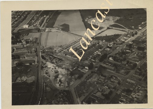
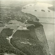
Aerial view of the northern part of Lancaster city showing the railroad station on McGovern Avenue. Area outlined in red is the Station Square project by Robert Vanderslice.