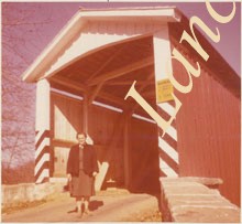
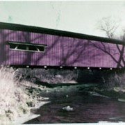
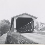
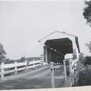
Photograph- Eshleman's Mill covered bridge across Pequea Creek, east of Paradise and Gordonville and north of Leaman Place, between Paradise and Leacock townships.
Photograph- Eshleman's Mill covered bridge across Pequea Creek, east of Paradise and Gordonville and north of Leaman Place, between Paradise and Leacock townships.
Description
Eshleman's Mill covered bridge across Pequea Creek, east of Paradise and Gordonville and north of Leaman Place, between Paradise and Leacock townships.
Provenance
Lancaster County covered bridge photos taken by M. E. Schroll and Kathryn L. Sauder taken between 1956 and 1958.
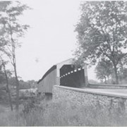
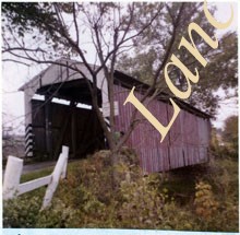
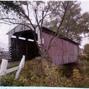
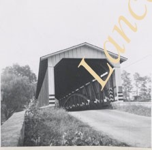
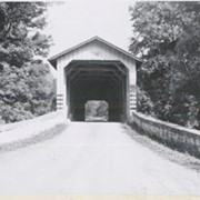
Photograph- End view of Gable's Fording covered bridge across Muddy Creek near Hinkletown, between Ephrata and Earl townships. Bridge no longer standing.
Photograph- End view of Gable's Fording covered bridge across Muddy Creek near Hinkletown, between Ephrata and Earl townships. Bridge no longer standing.
Description
End view of Gable's Fording covered bridge across Muddy Creek near Hinkletown, between Ephrata and Earl townships. Bridge no longer standing.
Provenance
Lancaster County covered bridge photos taken by M. E. Schroll and Kathryn L. Sauder taken between 1956 and 1958.