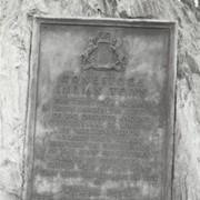
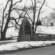
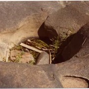
Boulder and bronze tablet at the site of Conestoga Indian Town. The town was located on the road from Letort to Safe Harbor in Manor Township between the years of 1682 and 1763. Monument erected in 1924.
Provenance
Album of historical markers erected by the Lancaster County Historical Society, compiled by George L. Heiges in 1986.