Hurtzinger's Mill, at Lime Valley, between Strasburg and West Lampeter Townships. County maintained on road T-498, built in 1871, single span 104 feet long.
Wabank Mill bridge, also called Third Lock bridge, on the Conestoga River between Lancaster and Pequea townships. This bridge was replaced by a road relocation in 1958.
Provenance
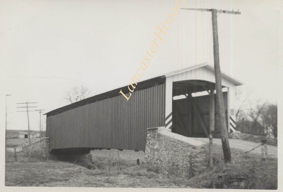
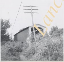
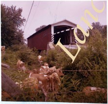
Lancaster County covered bridge photos taken by M. E. Schroll and Kathryn L. Sauder taken between 1956 and 1958.
Amwake's Mill, one mile southwest of Newtown, between Rapho and West Hempfield Townships. State supervised on road LR 36067, builit in 1875, single span 133 feet long.
Shenk's Mill, one mile north of Salunga, between Rapho and East Hempfield Townships. County maintained on road T-372, built in 1855 (first bridge 1847), single span 96 feet long.
Michael Moore's Mill bridge, or Seigrist's Mill bridge, between Rapho and West Hempfield Townships, two miles northwest of Silver Spring. County maintained on road T-360, built in 1885, single span about 80 feet long.
John Forry's bridge, just off Marietta Pike two miles west of Silver Spring, between Rapho and West Hempfield Townships. County maintained on road T-362, built in 1869, single span 103 feet long.