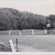
Conestoga Valley Association recreation area near Safe Harbor. From page 18 of Earl Rebman's book "Conestoga River Watershed - Outline of History, 1710 to 1973".
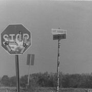
Stop sign and street sign for Safe Harbor Road and Brennenam Road, covered with bumper stickers. Photo taken for the Pennsylvania School of the Arts History of the Future Project.
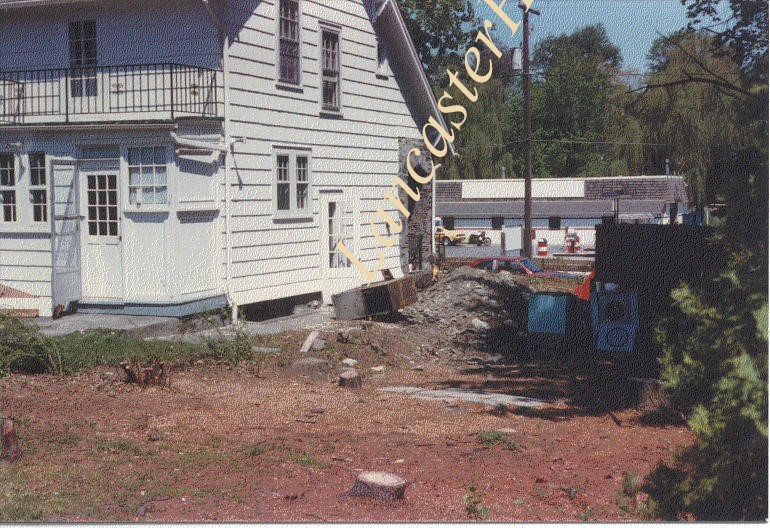
Photograph- Tavern and inn at Maple Grove, built between 1780 and 1800. Tollhouse was across the road. Torn down in 1972. Site now Rite-Aid on Columbia Avenue.
Photograph- Tavern and inn at Maple Grove, built between 1780 and 1800. Tollhouse was across the road. Torn down in 1972. Site now Rite-Aid on Columbia Avenue.
Description
Tavern and inn at Maple Grove, built between 1780 and 1800. Tollhouse was across the road. Torn down in 1972. Site now Rite-Aid on Columbia Avenue.
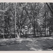
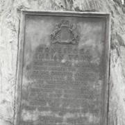
Boulder and bronze tablet at the site of Conestoga Indian Town. The town was located on the road from Letort to Safe Harbor in Manor Township between the years of 1682 and 1763. Monument erected in 1924.
Provenance
Album of historical markers erected by the Lancaster County Historical Society, compiled by George L. Heiges in 1986.