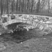
Kauffman's Distillery bridge, on road T-889 from Manheim to Sporting Hill and between townships of Penn and Rapho. County maintained, built in 1874 (frist bridge 1857), single span 96 feet long.
Amwake's Mill, one mile southwest of Newtown, between Rapho and West Hempfield Townships. State supervised on road LR 36067, builit in 1875, single span 133 feet long.
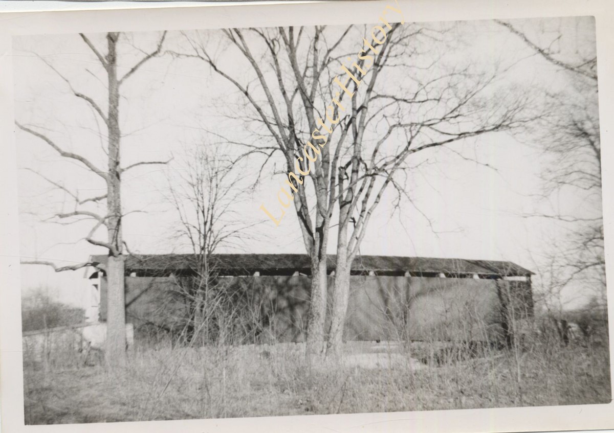
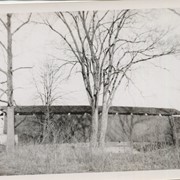
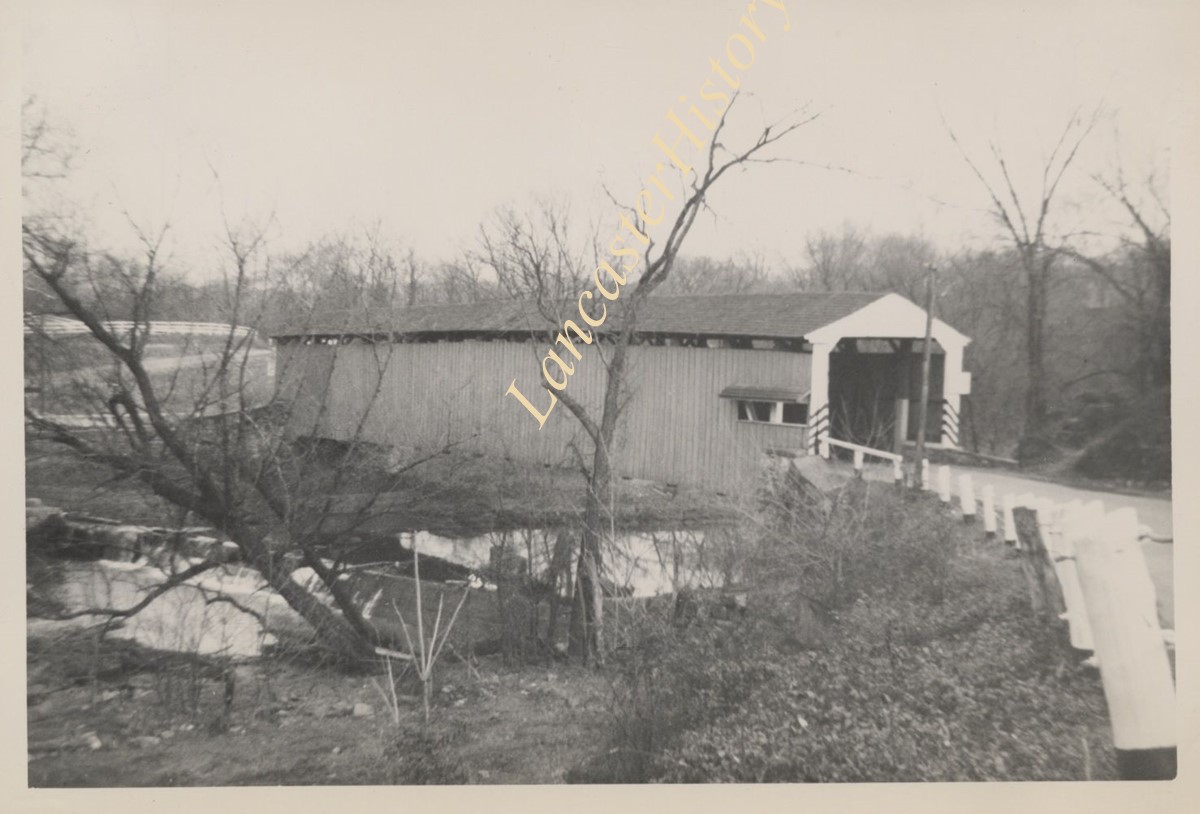
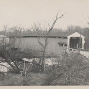
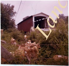
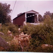
Photograph- Bell Bank covered bridge across the Octoraro Creek four miles south of Nine Points, between Colerain Township, Lancaster County and Upper Oxford Township, Chester County.
Photograph- Bell Bank covered bridge across the Octoraro Creek four miles south of Nine Points, between Colerain Township, Lancaster County and Upper Oxford Township, Chester County.
Description
Bell Bank covered bridge across the Octoraro Creek four miles south of Nine Points, between Colerain Township, Lancaster County and Upper Oxford Township, Chester County.
Provenance
Lancaster County covered bridge photos taken by M. E. Schroll and Kathryn L. Sauder taken between 1956 and 1958.