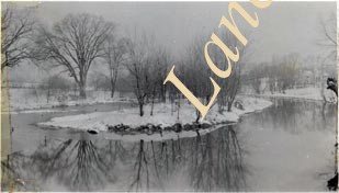
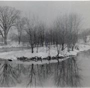
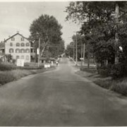
Photograph- Lancaster County Route 36029 at Gordonville, looking west toward Pennsylvania Railroad tracks, four grade crossing from a point 125 feet distant.
Photograph- Lancaster County Route 36029 at Gordonville, looking west toward Pennsylvania Railroad tracks, four grade crossing from a point 125 feet distant.
Description
Lancaster County Route 36029 at Gordonville, looking west toward Pennsylvania Railroad tracks, four grade crossing from a point 125 feet distant.
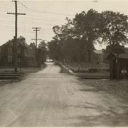
Photograph- Lancaster County Route 36029, Gordonville, looking east toward Pennsylvania Railroad four track grade crossing from a point 400 feet distant.
Photograph- Lancaster County Route 36029, Gordonville, looking east toward Pennsylvania Railroad four track grade crossing from a point 400 feet distant.
Description
Lancaster County Route 36029, Gordonville, looking east toward Pennsylvania Railroad four track grade crossing from a point 400 feet distant.