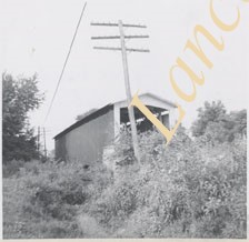
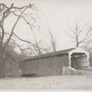
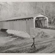
Wabank Mill bridge, also called Third Lock bridge, on the Conestoga River between Lancaster and Pequea townships. This bridge was replaced by a road relocation in 1958.
Provenance
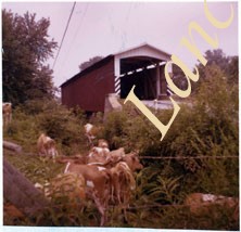
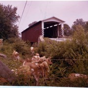
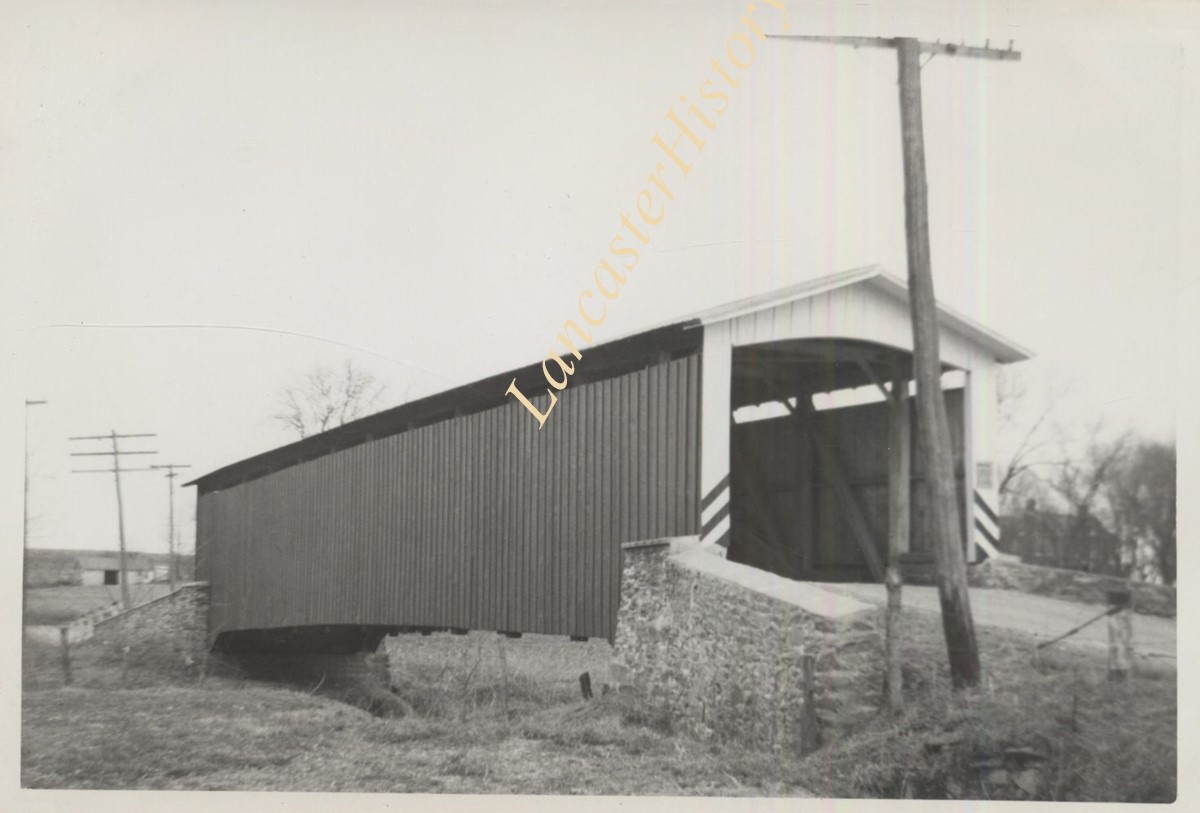
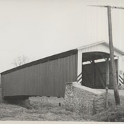
Lancaster County covered bridge photos taken by M. E. Schroll and Kathryn L. Sauder taken between 1956 and 1958.
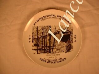
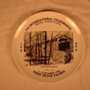
White porcelain commemorative plate with black printed image of Colemanville Bridge. Surrounded by, "3rd International Volksmarch / Pequea, Pennsylvania"; "IVV / AVA"; "7 - 8 October 1989 / Penn Dutch Pacers"; signature, "G. Robert Wagner"
Hurtzinger's Mill, at Lime Valley, between Strasburg and West Lampeter Townships. County maintained on road T-498, built in 1871, single span 104 feet long.
Daniel Good's Fording, one mile northeast of Marticville between Pequea and Providence Townships. State supervised on road LR 36008, built 1855, single span 79 feet long.
Baumgardner's Mill, .5 mile northeast of Marticville between Pequea and Providence Townships. County maintained on road T-425, built 1860, single span 111 feet long.
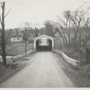
One mile northeast of Leaman Place, between Paradise and Leacock Townships. County maintained on road T-684, built in 1893 (first bridge 1845), single span 113 feet long.