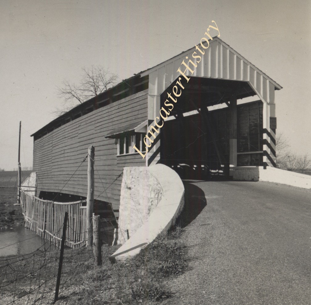
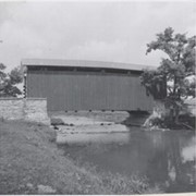
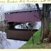
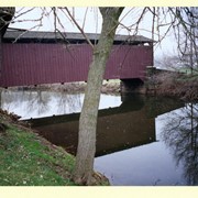
Photograph- Bell Bank covered bridge across the Octoraro Creek four miles south of Nine Points, between Colerain Township, Lancaster County and Upper Oxford Township, Chester County.
Photograph- Bell Bank covered bridge across the Octoraro Creek four miles south of Nine Points, between Colerain Township, Lancaster County and Upper Oxford Township, Chester County.
Description
Bell Bank covered bridge across the Octoraro Creek four miles south of Nine Points, between Colerain Township, Lancaster County and Upper Oxford Township, Chester County.
Provenance
Lancaster County covered bridge photos taken by M. E. Schroll and Kathryn L. Sauder taken between 1956 and 1958.
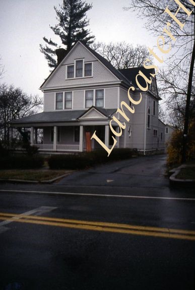
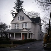
145 South River Street, Maytown, possibly designed by Urban, though thought not to be.
Provenance
Album of 35 mm slides of buildings in Lancaster County designed by architecht C. Emlen Urban. Slides taken by Carol Morgan for a lecture for the Torch Club in June 2002.