Historic structures Survey and Determination of Eligibility Report : East Lampeter, Leacock, Strasburg, Paradise, Salisbury, and Sadsbury Townships, Lancaster County, Pensylvania
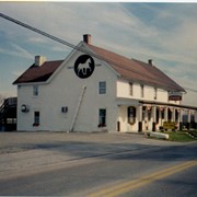
Union Church also known as Eby Union Church or Strickler Church Cemetery / Location, 722 East from Mount Joy, Pennsylvania, to Strickler Road, and then north on Strickler for 1/2 mile. Rapho Township, Lancaster County
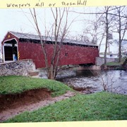
Wenger's Mill covered bridge, also called Rose Hill covered bridge, built in 1849 by Henry Zook. Located on Log Cabin Road, just off of Rose Hill Road.
Provenance
Photographs of a 2003 Theodore Burr Covered Bridge Society bridge safari.
Wenger's Mill covered bridge, also called Rose Hill covered bridge, built in 1849 by Henry Zook. Located on Log Cabin Road, just off of Rose Hill Road.
Provenance
Photographs of a 2003 Theodore Burr Covered Bridge Society bridge safari.
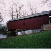
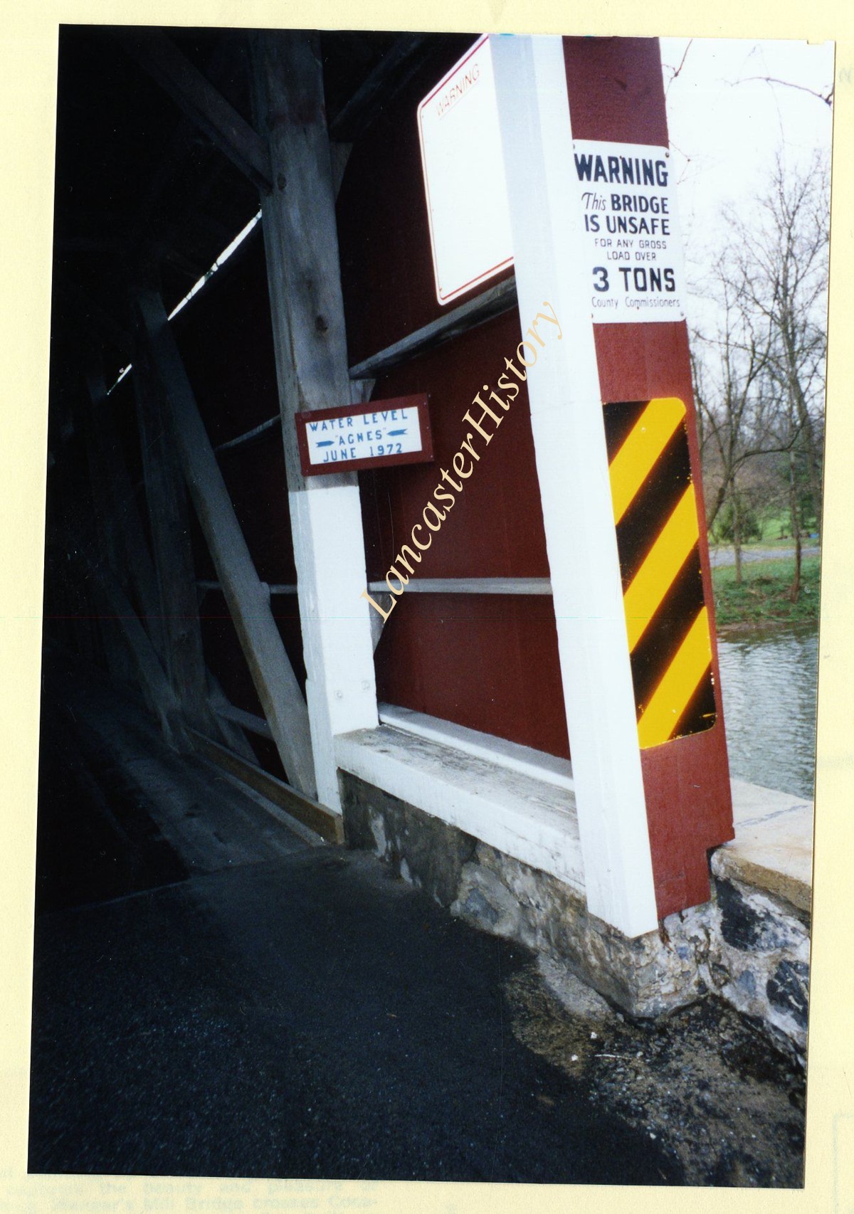
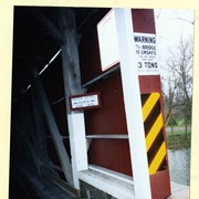
Wenger's Mill covered bridge, also called Rose Hill covered bridge, built in 1849 by Henry Zook. Located on Log Cabin Road, just off of Rose Hill Road. Close of high water mark during Hurricane Agnes, June 1972.
Provenance
Photographs of a 2003 Theodore Burr Covered Bridge Society bridge safari.
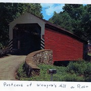
Wenger's Mill covered bridge, also called Rose Hill covered bridge, built in 1849 by Henry Zook. Located on Log Cabin Road, just off of Rose Hill Road. Post card.
Provenance
Photographs of a 2003 Theodore Burr Covered Bridge Society bridge safari.