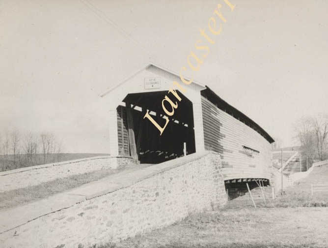
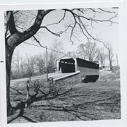
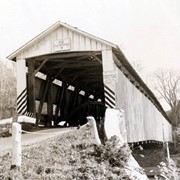
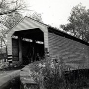
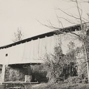
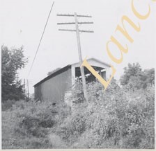
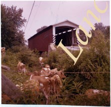
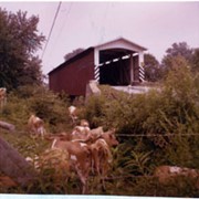
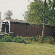
Photograph- Bell Bank covered bridge across the Octoraro Creek four miles south of Nine Points, between Colerain Township, Lancaster County and Upper Oxford Township, Chester County.
Photograph- Bell Bank covered bridge across the Octoraro Creek four miles south of Nine Points, between Colerain Township, Lancaster County and Upper Oxford Township, Chester County.
Description
Bell Bank covered bridge across the Octoraro Creek four miles south of Nine Points, between Colerain Township, Lancaster County and Upper Oxford Township, Chester County.
Provenance
Lancaster County covered bridge photos taken by M. E. Schroll and Kathryn L. Sauder taken between 1956 and 1958.
Wabank Mill bridge, also called Third Lock bridge, on the Conestoga River between Lancaster and Pequea townships. This bridge was replaced by a road relocation in 1958.
Provenance
Lancaster County covered bridge photos taken by M. E. Schroll and Kathryn L. Sauder taken between 1956 and 1958.
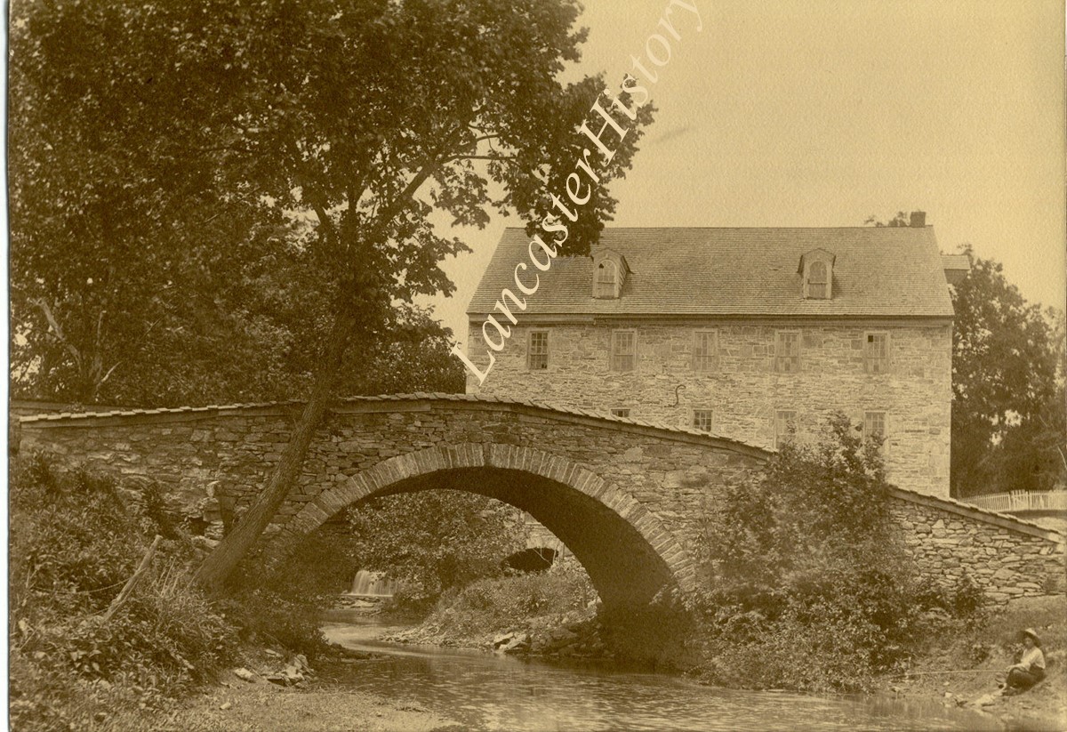
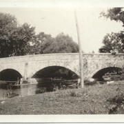
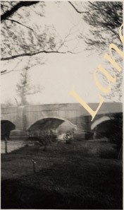
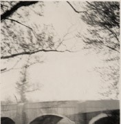
Photograph- Andrews Bridge over the Octoraro Creek, take in July of 1924 before it was replaced with a concrete bridge. Stone arch bridge built c. 1814, 450 feet long.
Photograph- Andrews Bridge over the Octoraro Creek, take in July of 1924 before it was replaced with a concrete bridge. Stone arch bridge built c. 1814, 450 feet long.
Description
Andrews Bridge over the Octoraro Creek, take in July of 1924 before it was replaced with a concrete bridge. Stone arch bridge built c. 1814, 450 feet long.