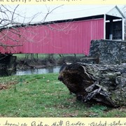
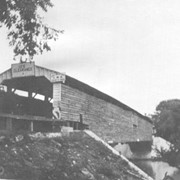
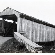
Nathan Eberly's Cider Mill covered bridge, also known as Bitzer's Mill covered bridge. Built in 1846 over the Conestoga Creek. Oldest state owned covered bridge in Pennsylvania.
Provenance
Photographs of a 2003 Theodore Burr Covered Bridge Society bridge safari.
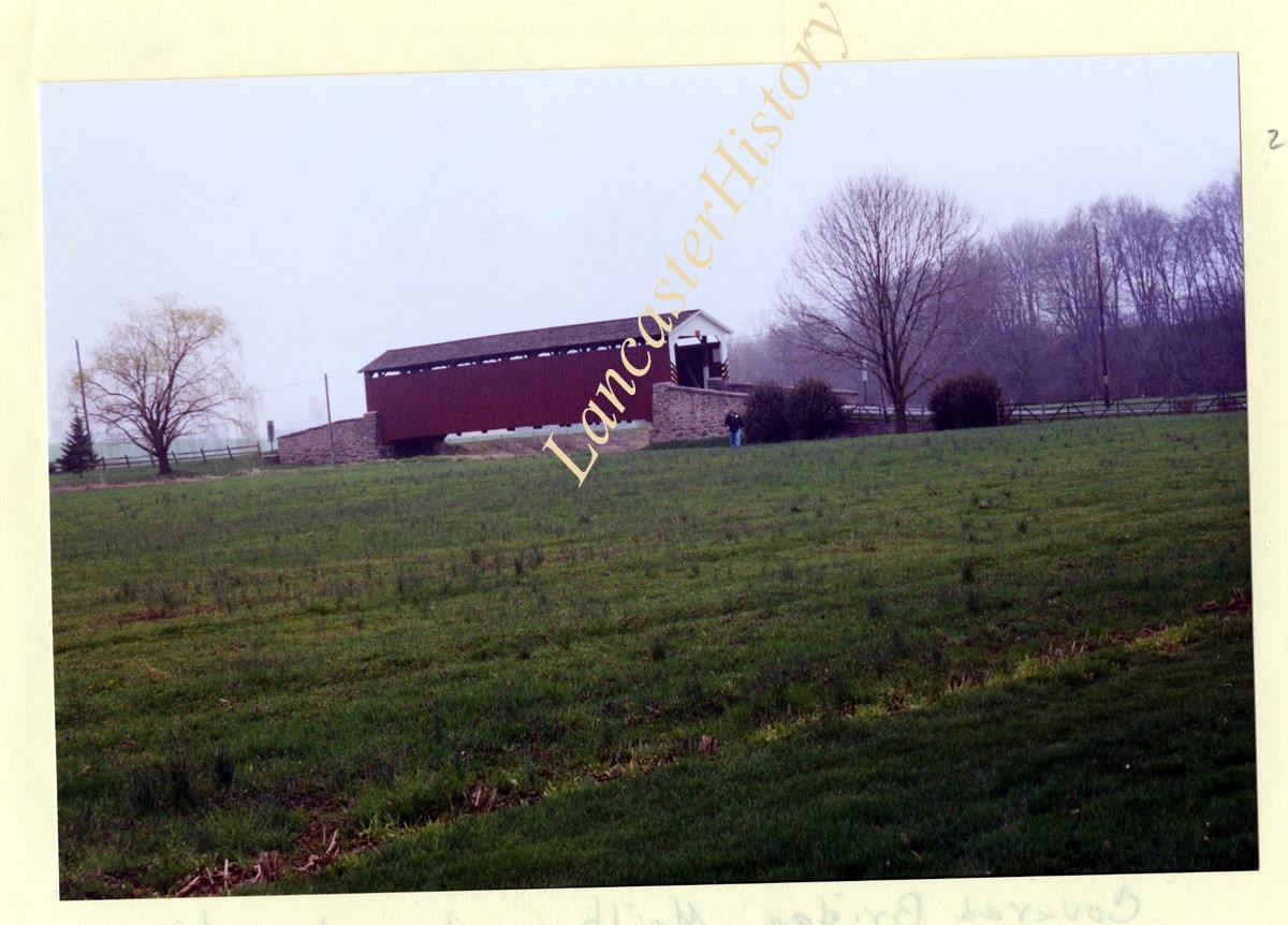
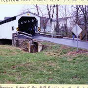
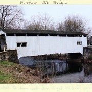
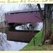
Rettew Mill bridge, also known as Keller's Mill bridge or Guy Bard's covered bridge. Built in 1873 by Elias McMellen. Originally over Cocalico Creek on Rettew Mill Road between Akron borough and Ephrata borough. Currently over Cocalico Creek on Middle Creek Road. Moved in 2010.
Provenance
Photographs of a 2003 Theodore Burr Covered Bridge Society bridge safari.
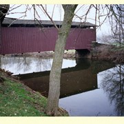
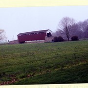
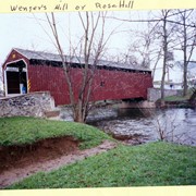
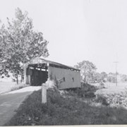
Wenger's Mill covered bridge, also called Rose Hill covered bridge, built in 1849 by Henry Zook. Located on Log Cabin Road, just off of Rose Hill Road.
Provenance
Photographs of a 2003 Theodore Burr Covered Bridge Society bridge safari.
Wenger's Mill covered bridge, also called Rose Hill covered bridge, built in 1849 by Henry Zook. Located on Log Cabin Road, just off of Rose Hill Road.
Provenance
Photographs of a 2003 Theodore Burr Covered Bridge Society bridge safari.
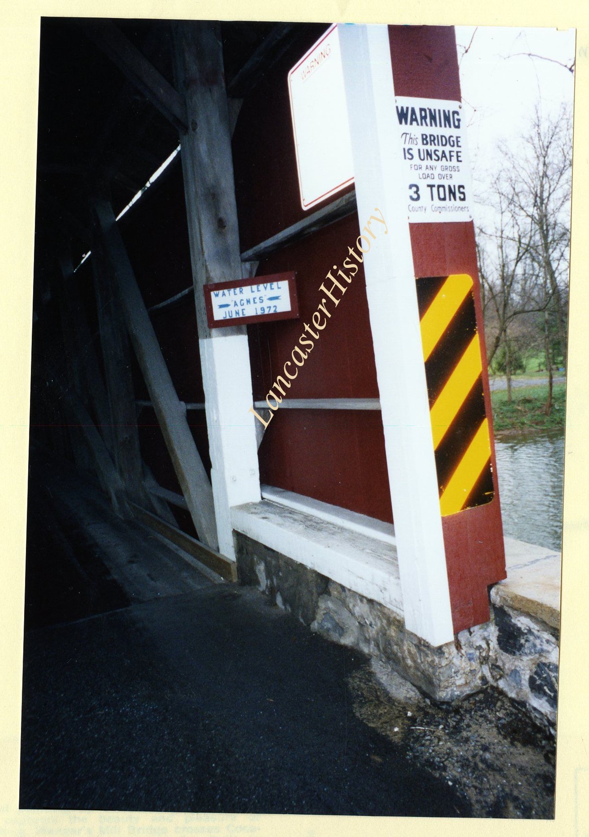
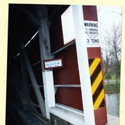
Wenger's Mill covered bridge, also called Rose Hill covered bridge, built in 1849 by Henry Zook. Located on Log Cabin Road, just off of Rose Hill Road. Close of high water mark during Hurricane Agnes, June 1972.
Provenance
Photographs of a 2003 Theodore Burr Covered Bridge Society bridge safari.
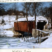
Wenger's Mill covered bridge, also called Rose Hill covered bridge, built in 1849 by Henry Zook. Located on Log Cabin Road, just off of Rose Hill Road. In the snow.
Provenance
Photographs of a 2003 Theodore Burr Covered Bridge Society bridge safari.
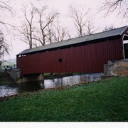
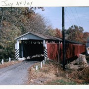
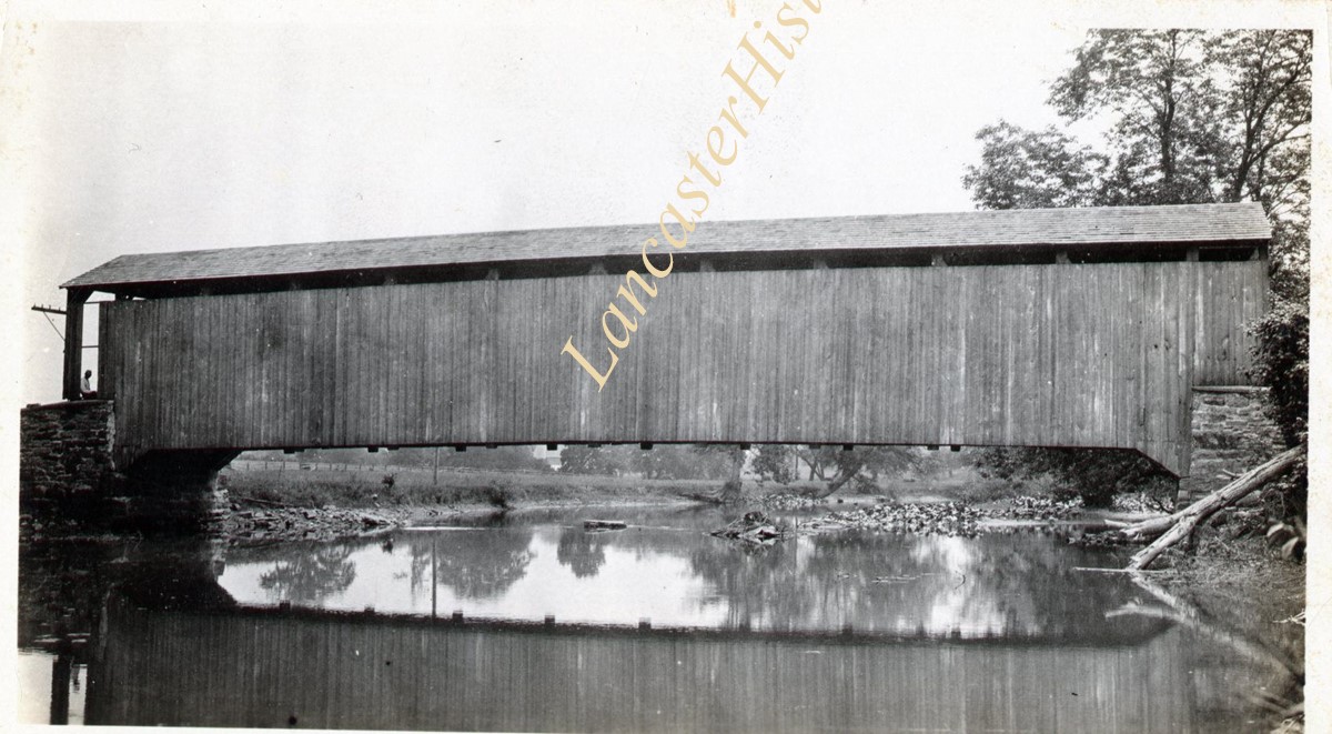
Snavely's Mill covered bridge, also called Second Lock covered bridge, destroyed by fire in 1968. Spanned the Conestoga Creek between Lancaster and Pequea Townships.
Provenance
Photographs of a 2003 Theodore Burr Covered Bridge Society bridge safari.