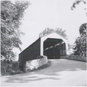
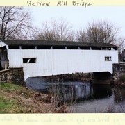
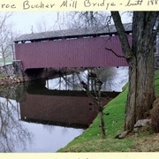
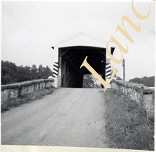
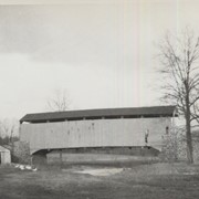
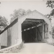
Rettew Mill bridge, also known as Keller's Mill bridge or Guy Bard's covered bridge. Built in 1873 by Elias McMellen. Originally over Cocalico Creek on Rettew Mill Road between Akron borough and Ephrata borough. Currently over Cocalico Creek on Middle Creek Road. Moved in 2010.
Provenance
Photographs of a 2003 Theodore Burr Covered Bridge Society bridge safari.
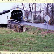
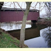
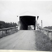
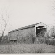
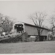
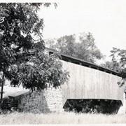
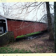
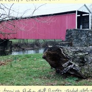
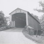
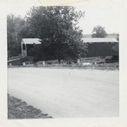
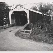
Nathan Eberly's Cider Mill covered bridge, also known as Bitzer's Mill covered bridge. Built in 1846 over the Conestoga Creek. Oldest state owned covered bridge in Pennsylvania.
Provenance
Photographs of a 2003 Theodore Burr Covered Bridge Society bridge safari.
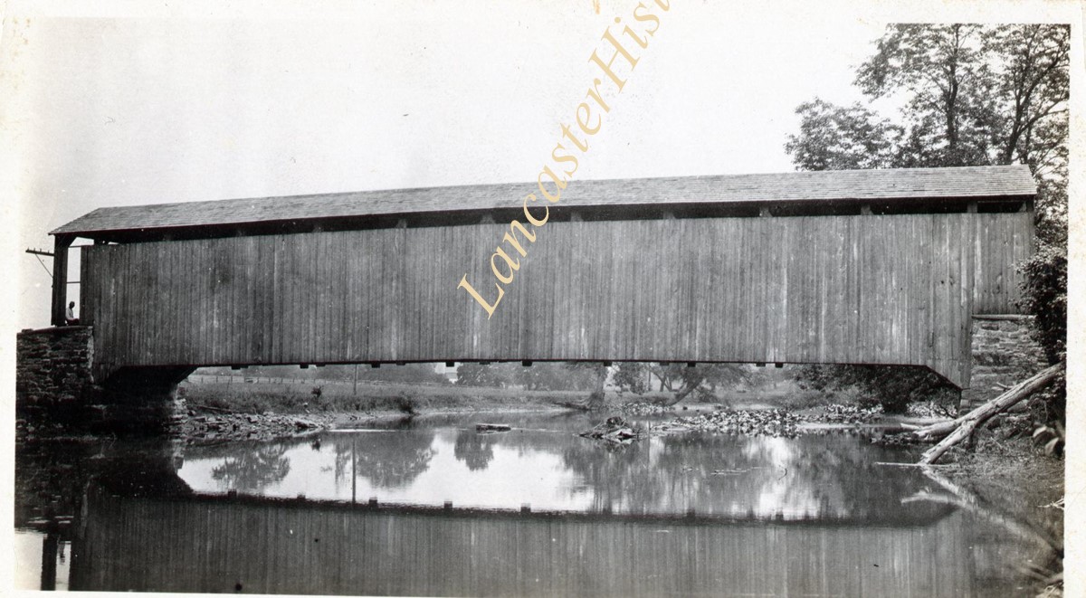
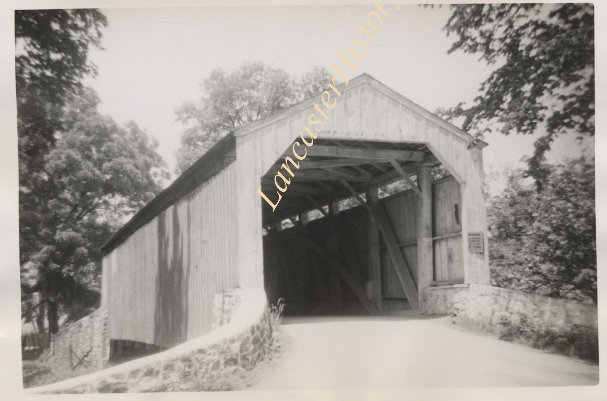
Red Run covered bridge near the confluence of Red Run and Muddy Creek. From page 67 of Earl Rebman's book "Conestoga River Watershed - Outline of History, 1710 to 1973".
Good's Sawmill covered bridge, .5 mile south of Fivepointville, between East Earl and Brecknock Townships. State supervised on road LR 30612, built in 1851, single span 82 feet long.
Joseph Oberholtzer's Mill, at Red Bank, 1.5 miles north west of Terre Hill, between Earl and Brecknock Townships. State supervised on LR 36013, built 1866, single span 128 feet long.
Fry's Mill, one mile east of Hahnstown between Ephrata and East Cocalico Townships. County maintained on road T-813, built in 1849, single span 95 feet long.
Gable's Fording, one mile northeast of Hinkletown, near confluence with Conestoga River, between Earl and Ephrata Townships. State supervised on road LR 36052, built in 1872, single span 129 feet long.