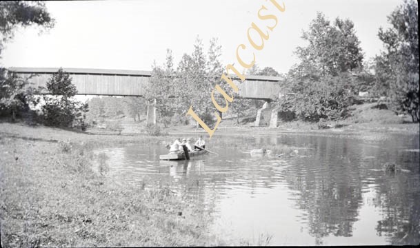
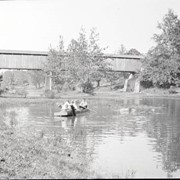
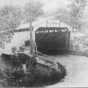
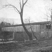
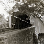
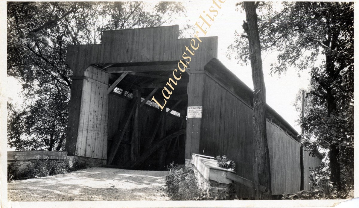
Wabank Mill bridge, also called Third Lock bridge, on the Conestoga River between Lancaster and Pequea townships. This bridge was replaced by a road relocation in 1958.
Provenance
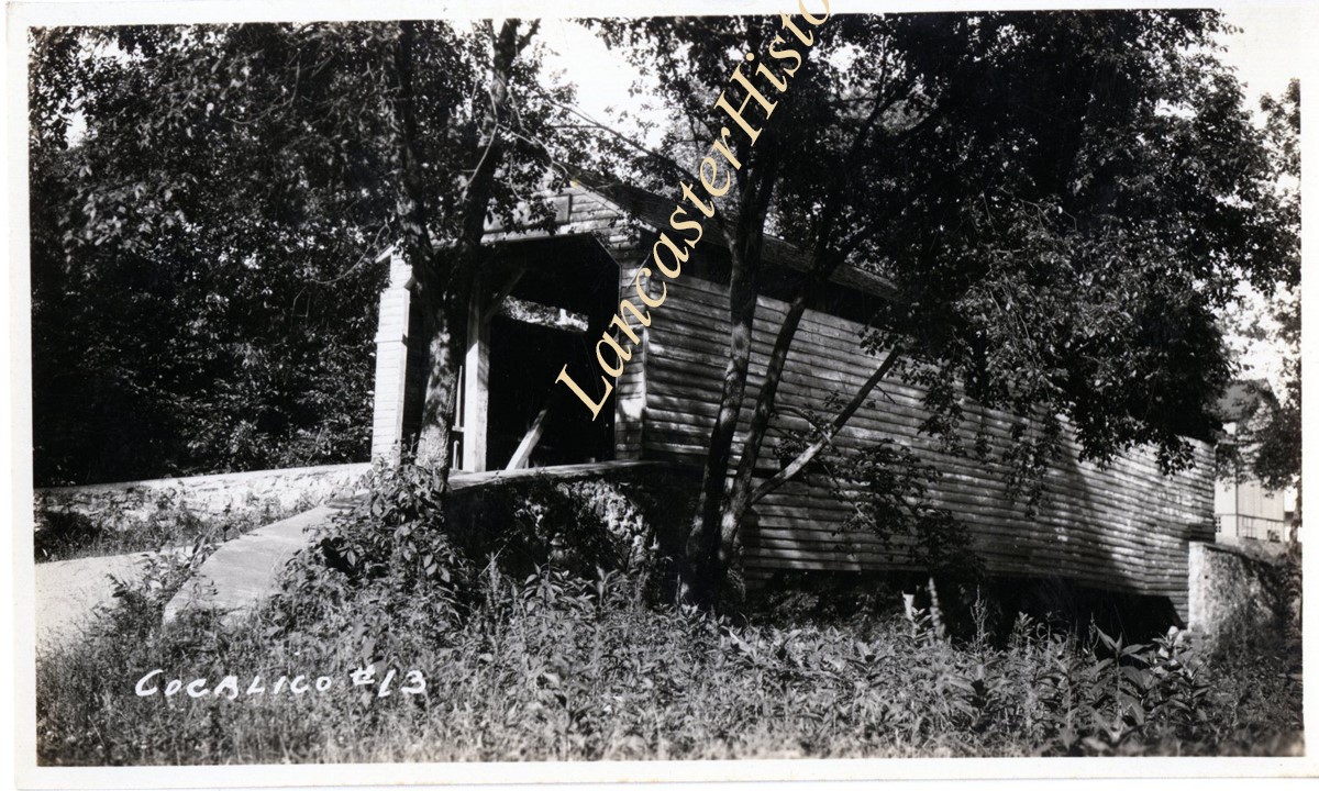
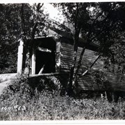
Lancaster County covered bridge photos taken by M. E. Schroll and Kathryn L. Sauder taken between 1956 and 1958.
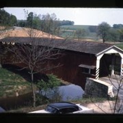
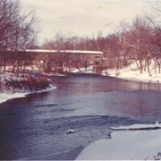
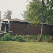
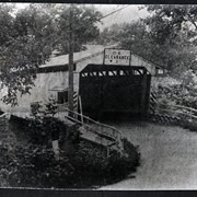
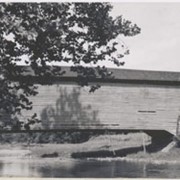
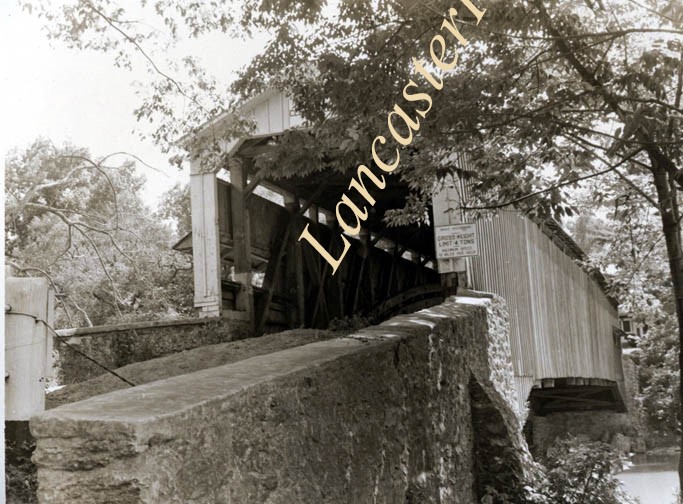
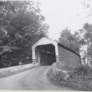
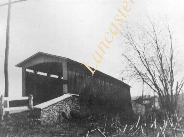
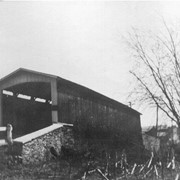
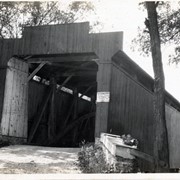
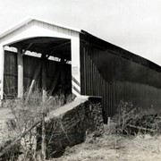
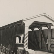
Photograph- Lime Valley covered bridge, also known as Huntzinger's Mill bridge. Located between Strasburg Township and West Lampter Township on the Pequea Creek.
Photograph- Lime Valley covered bridge, also known as Huntzinger's Mill bridge. Located between Strasburg Township and West Lampter Township on the Pequea Creek.
Description
Lime Valley covered bridge, also known as Huntzinger's Mill bridge. Located between Strasburg Township and West Lampter Township on the Pequea Creek.