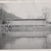
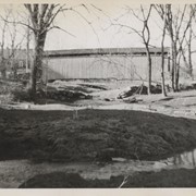
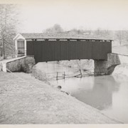
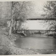
Photograph- Pine Grove covered bridge across the Octoraro Creek, between Little Britain Township, Lancaster County, and Lower Oxford Township, Chester County. Location of pumping station which supplies Chester.
Photograph- Pine Grove covered bridge across the Octoraro Creek, between Little Britain Township, Lancaster County, and Lower Oxford Township, Chester County. Location of pumping station which supplies Chester.
Description
Pine Grove Covered Bridge across the Octoraro Creek, between Little Britain Township, Lancaster County, and Lower Oxford Township, Chester County. Location of pumping station which supplies Chester.
Provenance
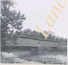
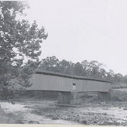
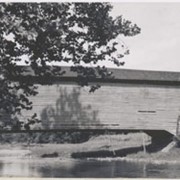
Lancaster County covered bridge photos taken by M. E. Schroll and Kathryn L. Sauder taken between 1956 and 1958.
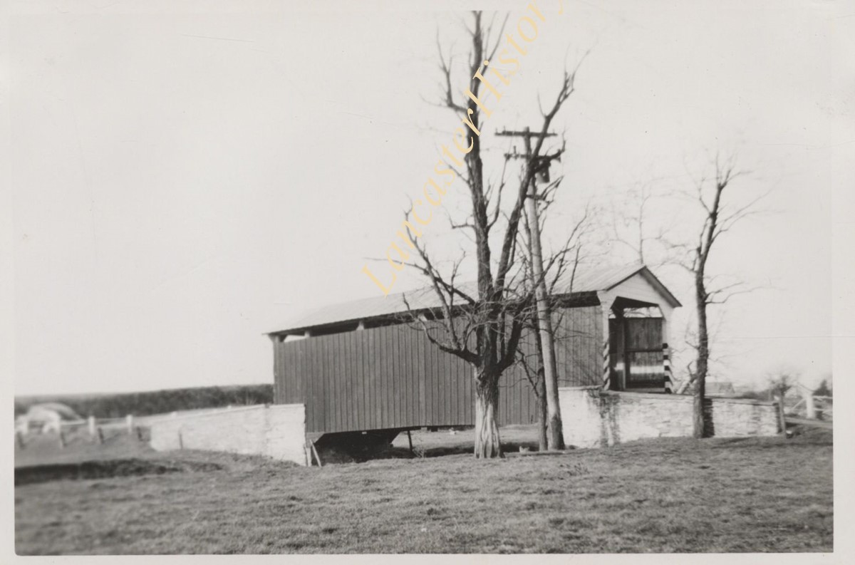
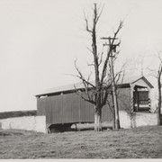
Covered bridge two miles north of Mount Joy, between Rapho and Mount Joy Townships. State supervised on road LR 36069, built in 1849, single span 68 feet long.
Johnson's Mill covered bridge, 1.5 miles east of Marietta, between East Donegal and Rapho Townships. County maintained on road T-356, built in 1867 (first bridge 1854), single span 80 feet long.
Jacob Landis Mill, . 5 mile north of Oreville, between East Hempfield and Manheim Townships. County maintained on road T-560, built in 1873, single span "King Post" construction, shortest bridge in County, length 53 feet.
Stoneroad's Mill covered bridge, formerly Kauffman's Mill, private bridge now owned by George Mann, one mile south of Maple Grove, another short bridge approximately 55 feet long.