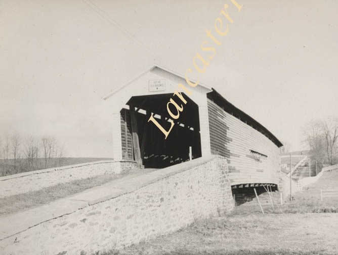
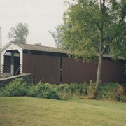
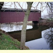
Red Run covered bridge near the confluence of Red Run and Muddy Creek. From page 67 of Earl Rebman's book "Conestoga River Watershed - Outline of History, 1710 to 1973".
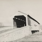
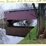
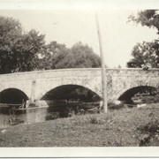
Photograph- Andrews Bridge over the Octoraro Creek, take in July of 1924 before it was replaced with a concrete bridge. Stone arch bridge built c. 1814, 450 feet long.
Photograph- Andrews Bridge over the Octoraro Creek, take in July of 1924 before it was replaced with a concrete bridge. Stone arch bridge built c. 1814, 450 feet long.
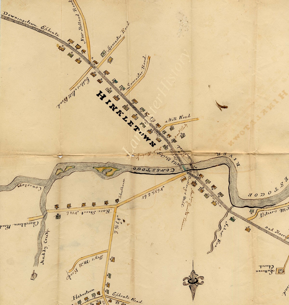
Description
Andrews Bridge over the Octoraro Creek, take in July of 1924 before it was replaced with a concrete bridge. Stone arch bridge built c. 1814, 450 feet long.