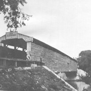
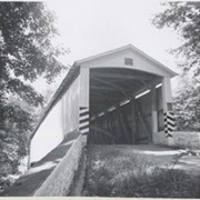
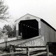
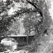
Covered bridge across the Conestoga Creek south of Oregon. Photo is identified as Raub's bridge, but is better known as Pinetown Bridge or Nolt's Point covered bridge.
Provenance
Lancaster County covered bridge photos taken by M. E. Schroll and Kathryn L. Sauder taken between 1956 and 1958.
On the Conestoga Creek, Pinetown Road, south of Oregon. Bridge is identified as Raub's bridge but is better known as Pinetown Bridge or Nolt's Point covered bridge.
Provenance
Lancaster County covered bridge photos taken by M. E. Schroll and Kathryn L. Sauder taken between 1956 and 1958.
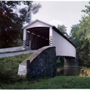
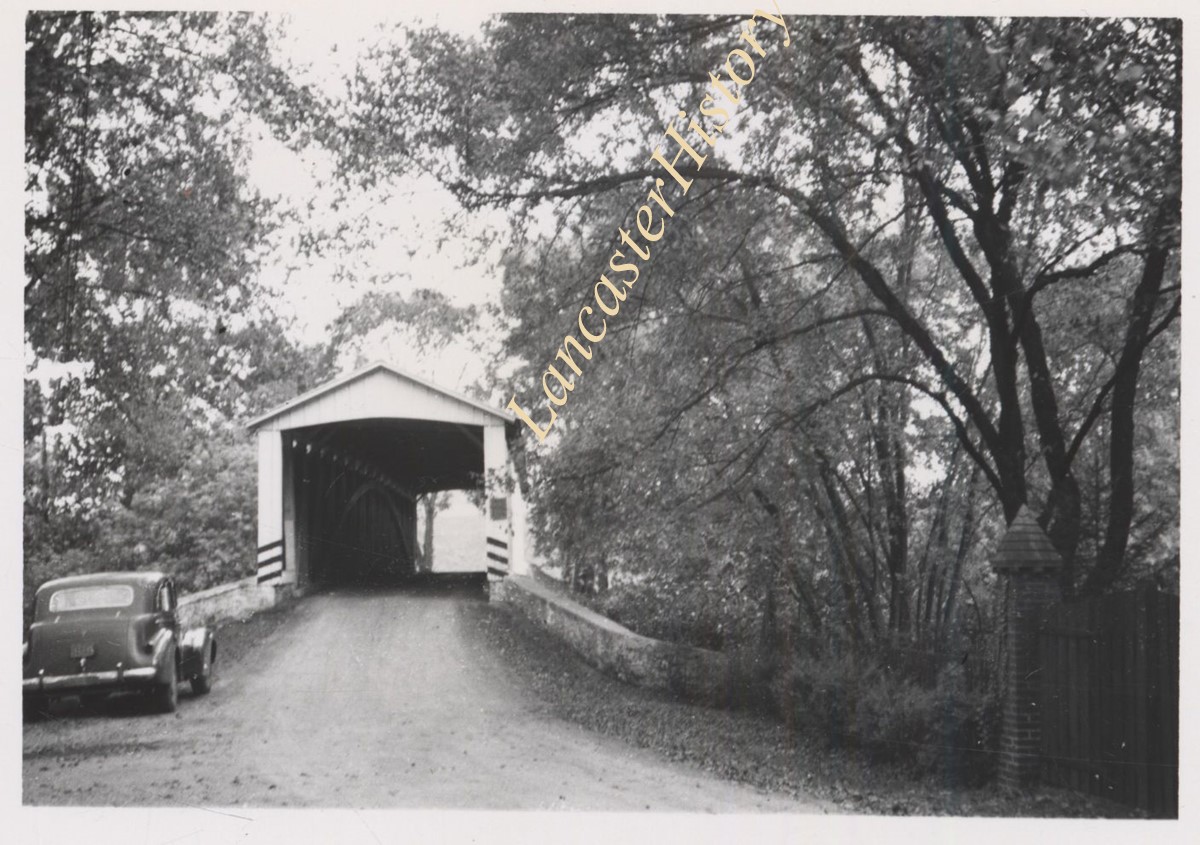
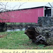
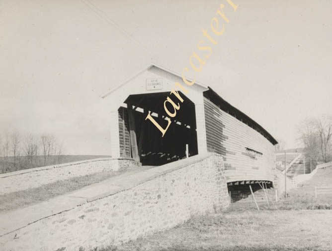
Photograph- Pinetown covered bridge on the Conestoga Creek. Also called Nolt's Point Mill or Shand's Bridge, between Upper Leacock Township and Manheim Township. Built circa 1858, 133 feet long.
Photograph- Pinetown covered bridge on the Conestoga Creek. Also called Nolt's Point Mill or Shand's Bridge, between Upper Leacock Township and Manheim Township. Built circa 1858, 133 feet long.
Description
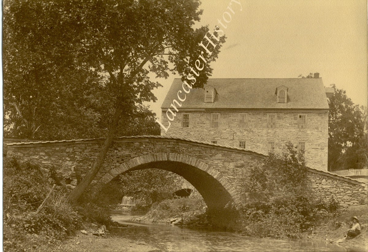
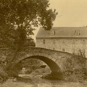
Pinetown covered bridge on the Conestoga Creek. Also called Nolt's Point Mill or Shand's Bridge, between Upper Leacock Township and Manheim Township. Built circa 1858, 133 feet long.
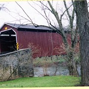
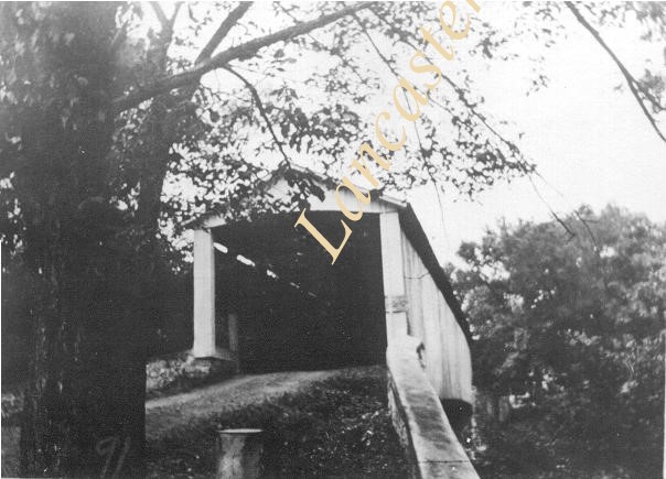
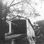
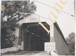
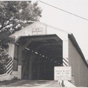
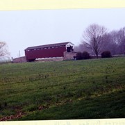
Hunsecker's Mill Bridge on the Conestoga River between Manheim and Upper Leacock townships. Destroyed by Hurricane Agnes, June 22, 1972 but rebuilt on the same site.
Provenance
Lancaster County covered bridge photos taken by M. E. Schroll and Kathryn L. Sauder taken between 1956 and 1958.
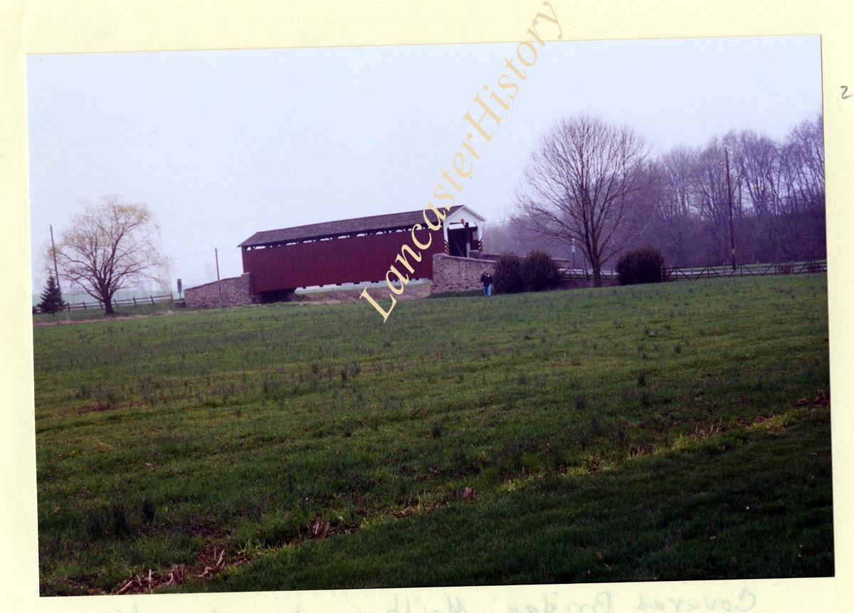
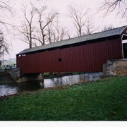
Nathan Eberly's Cider Mill covered bridge, also known as Bitzer's Mill covered bridge. Built in 1846 over the Conestoga Creek. Oldest state owned covered bridge in Pennsylvania.
Provenance
Photographs of a 2003 Theodore Burr Covered Bridge Society bridge safari.
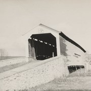
Wenger's Mill covered bridge, also called Rose Hill covered bridge, built in 1849 by Henry Zook. Located on Log Cabin Road, just off of Rose Hill Road.
Provenance
Photographs of a 2003 Theodore Burr Covered Bridge Society bridge safari.