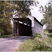
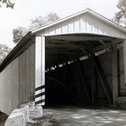
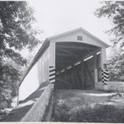
Keller's Mill bridge, also called Guy Bard's bridge, one and a half miles north of Arkon in Ephrata Township on the Cocalico Creek. 76 feet long, built in 1891.
Provenance
digital image only - original owned by Milton Haldeman
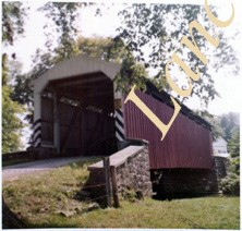
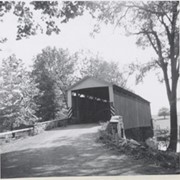
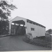
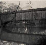
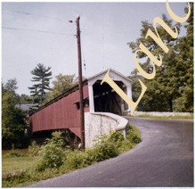
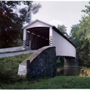
Covered bridge across the Conestoga Creek south of Oregon. Photo is identified as Raub's bridge, but is better known as Pinetown Bridge or Nolt's Point covered bridge.
Provenance
Lancaster County covered bridge photos taken by M. E. Schroll and Kathryn L. Sauder taken between 1956 and 1958.
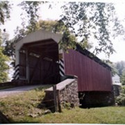
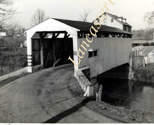
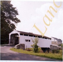
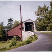
On the Conestoga Creek, Pinetown Road, south of Oregon. Bridge is identified as Raub's bridge but is better known as Pinetown Bridge or Nolt's Point covered bridge.
Provenance
Lancaster County covered bridge photos taken by M. E. Schroll and Kathryn L. Sauder taken between 1956 and 1958.
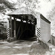
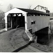
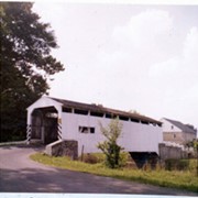
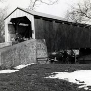
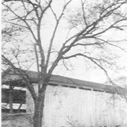
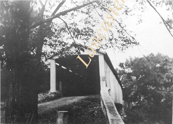
Photograph- Pinetown covered bridge on the Conestoga Creek. Also called Nolt's Point Mill or Shand's Bridge, between Upper Leacock Township and Manheim Township. Built circa 1858, 133 feet long.
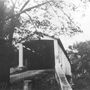
Photograph- Pinetown covered bridge on the Conestoga Creek. Also called Nolt's Point Mill or Shand's Bridge, between Upper Leacock Township and Manheim Township. Built circa 1858, 133 feet long.
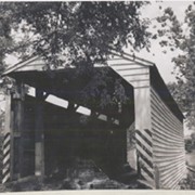
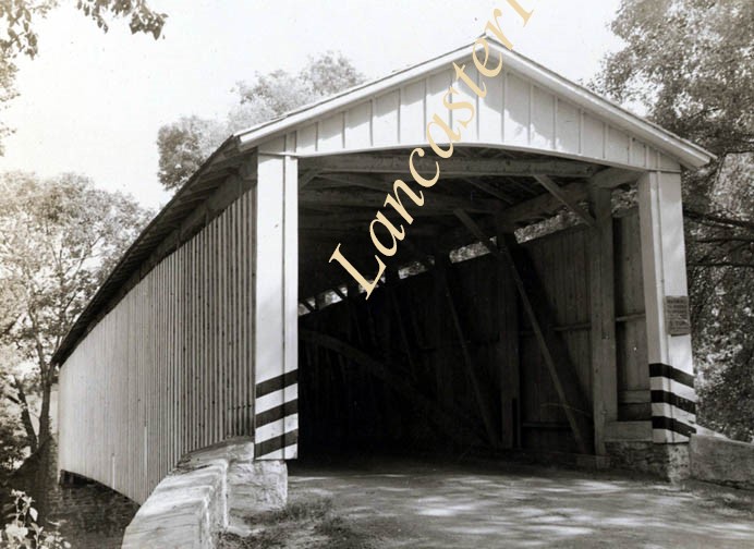
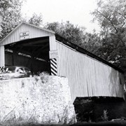
Description
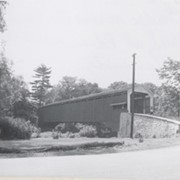
Pinetown covered bridge on the Conestoga Creek. Also called Nolt's Point Mill or Shand's Bridge, between Upper Leacock Township and Manheim Township. Built circa 1858, 133 feet long.