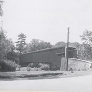
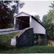
Wabank Mill bridge, also called Third Lock bridge, on the Conestoga River between Lancaster and Pequea townships. This bridge was replaced by a road relocation in 1958.
Provenance
Lancaster County covered bridge photos taken by M. E. Schroll and Kathryn L. Sauder taken between 1956 and 1958.
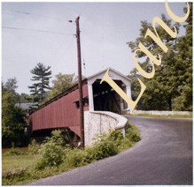
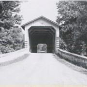
Covered bridge across the Conestoga Creek south of Oregon. Photo is identified as Raub's bridge, but is better known as Pinetown Bridge or Nolt's Point covered bridge.
Provenance
Lancaster County covered bridge photos taken by M. E. Schroll and Kathryn L. Sauder taken between 1956 and 1958.
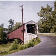
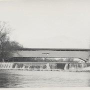
On the Conestoga Creek, Pinetown Road, south of Oregon. Bridge is identified as Raub's bridge but is better known as Pinetown Bridge or Nolt's Point covered bridge.
Provenance
Lancaster County covered bridge photos taken by M. E. Schroll and Kathryn L. Sauder taken between 1956 and 1958.
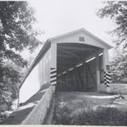
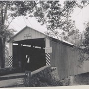
Bushong's Mill, near Oregon between Upper Leacock and Manheim Townships. State supervised on road LR 36009, built in 1843, longest single span in the county, 195 feet long.