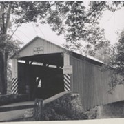
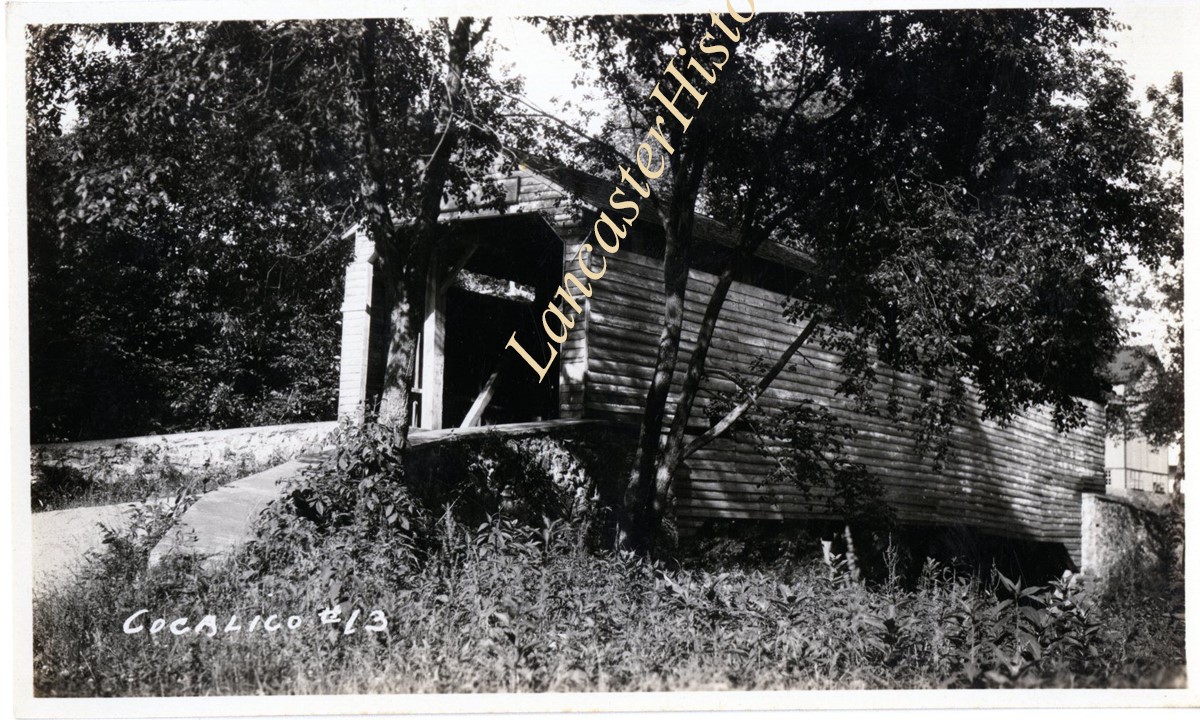
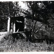
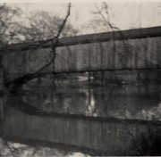
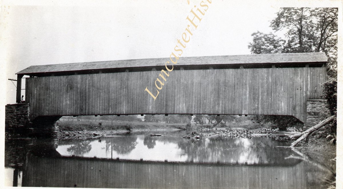
Wabank Mill bridge, also called Third Lock bridge, on the Conestoga River between Lancaster and Pequea townships. This bridge was replaced by a road relocation in 1958.
Provenance
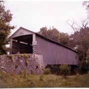
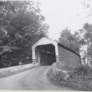
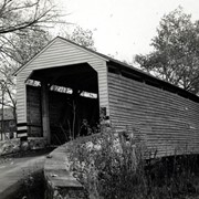
Lancaster County covered bridge photos taken by M. E. Schroll and Kathryn L. Sauder taken between 1956 and 1958.