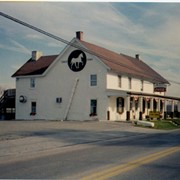
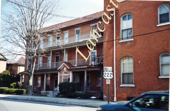
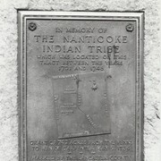
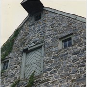
Photograph- Compass Mill at the intersection of Pierson Road and Rothsville Road (Route 772) just outside of Lititz. Built by the Moravian Congregation c. 1755.
Photograph- Compass Mill at the intersection of Pierson Road and Rothsville Road (Route 772) just outside of Lititz. Built by the Moravian Congregation c. 1755.
Description
Compass Mill at the intersection of Pierson Road and Rothsville Road (Route 772) just outside of Lititz. Built by the Moravian Congregation c. 1755.