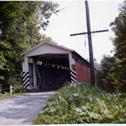
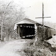
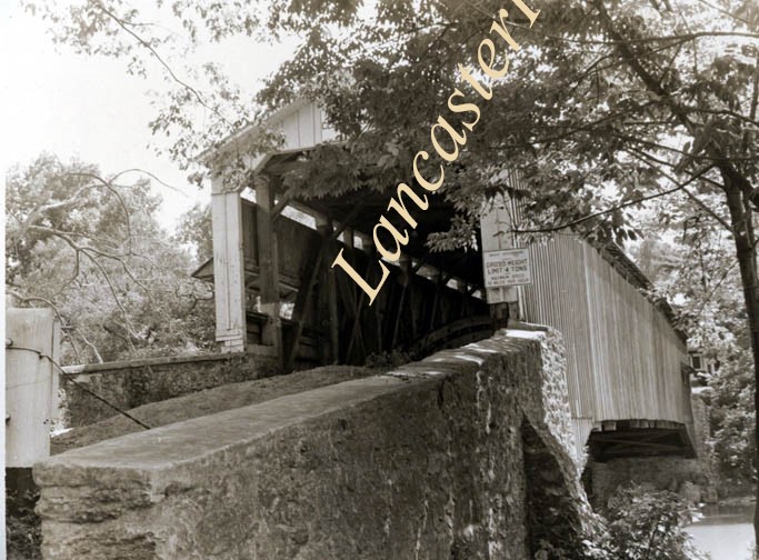
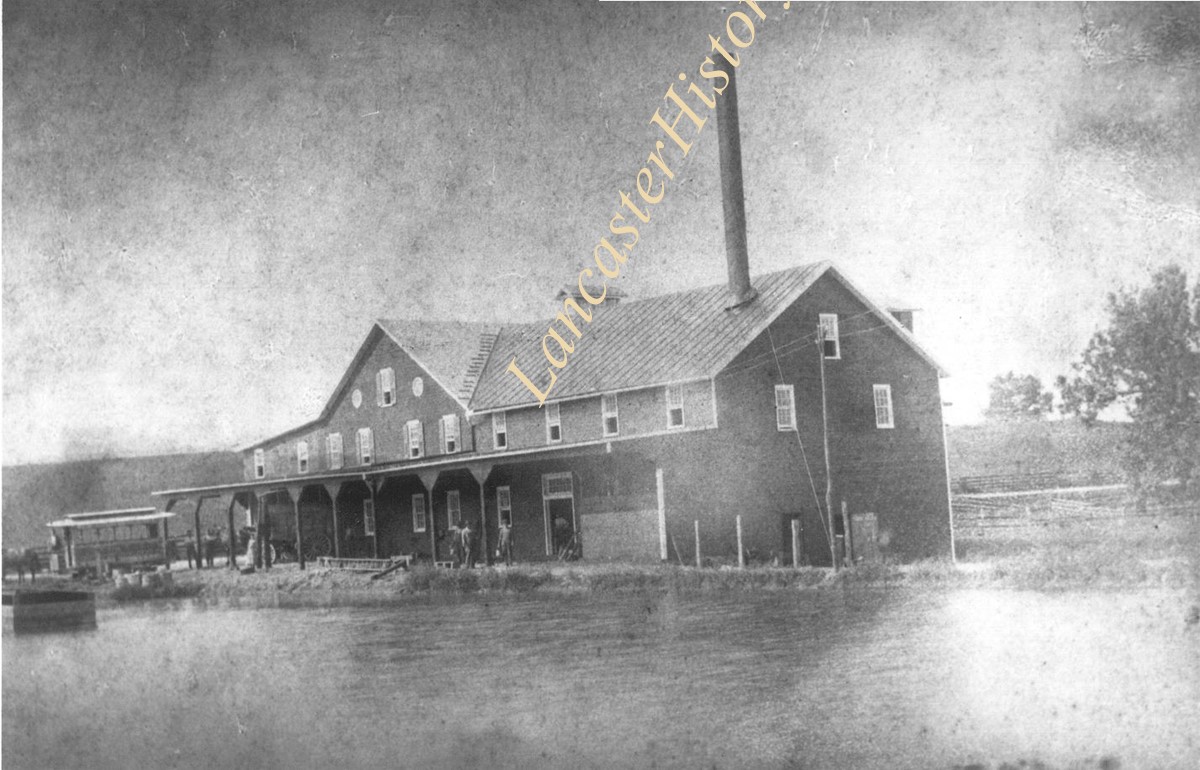
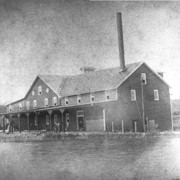
Snavely's Mill bridge south of Lancaster city between Lancaster and Pequea Townships. Longest double span in Lancaster County. 349 feet long. First bridge built in 1836, second in 1850. On the Conestoga River.
Provenance
digital image only - original owned by Milton Haldeman
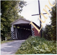
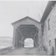
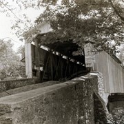
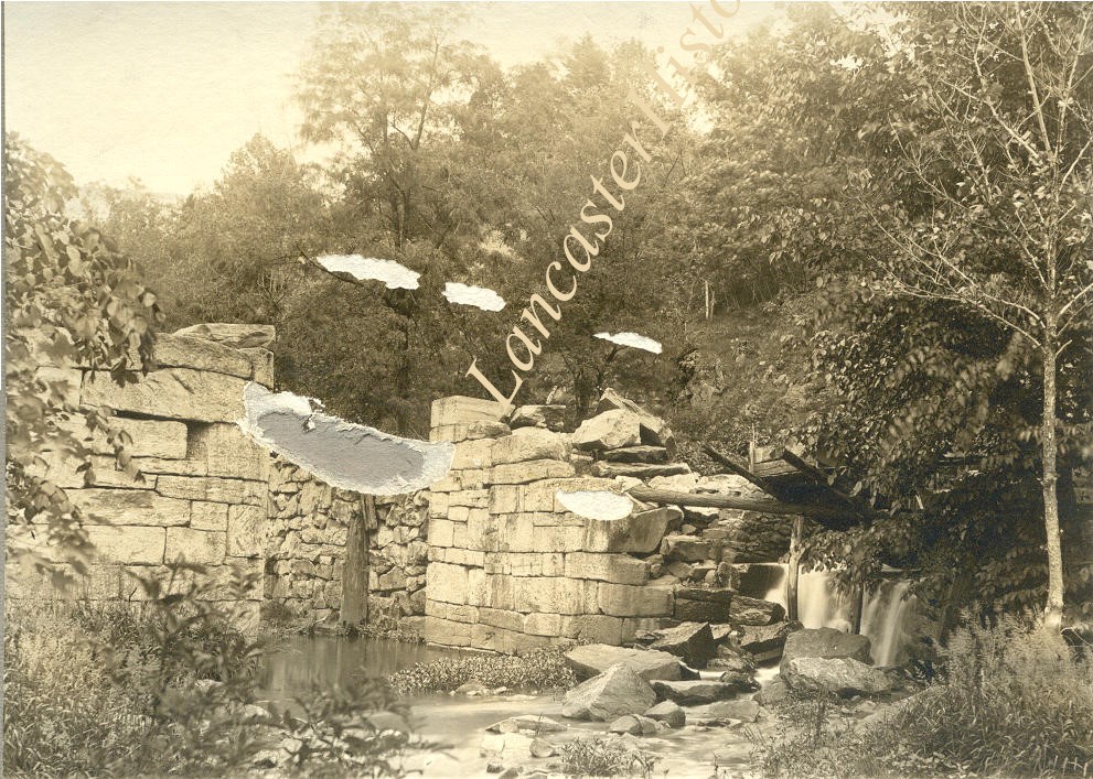
Wabank Mill bridge, also called Third Lock bridge, on the Conestoga River between Lancaster and Pequea townships. This bridge was replaced by a road relocation in 1958.
Provenance
Lancaster County covered bridge photos taken by M. E. Schroll and Kathryn L. Sauder taken between 1956 and 1958.
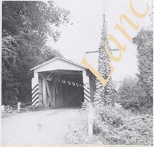
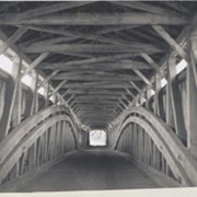
Covered bridge on the Little Conestoga Creek south of Maple Grove at Stoneroad's Mill. Only privately owned bridge in Lancaster Co. George Mann owner. Located between Lancaster and Manor twps.
Provenance
Lancaster County covered bridge photos taken by M. E. Schroll and Kathryn L. Sauder taken between 1956 and 1958.
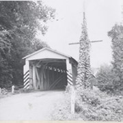
Covered bridge on the Little Conestoga Creek south of Maple Grove at Stoneroads Mill. This bridge was replaced and is the first privately owned bridge in county. George Mann, owner. Located between Lancaster and Manor townships.
Provenance
Lancaster County covered bridge photos taken by M. E. Schroll and Kathryn L. Sauder taken between 1956 and 1958.
Photograph- Man holding up a copy of the Lancaster New Era newspaper with the headline "Fire! Man, What a Fire in Suburbs of Ronks - Local Tobacconist Loses 2 Buildings, Has No Insurance".
Photograph- Man holding up a copy of the Lancaster New Era newspaper with the headline "Fire! Man, What a Fire in Suburbs of Ronks - Local Tobacconist Loses 2 Buildings, Has No Insurance".
Description
Man holding up a copy of the Lancaster New Era newspaper with the headline "Fire! Man, What a Fire in Suburbs of Ronks - Local Tobacconist Loses 2 Buildings, Has No Insurance".
Lancaster Body Company. Miller & Bushong, Rohrerstown, Feed, Coal & Lumber, Truck outside building with sign "Body Built by Lancaster Body Co. Lancaster, Pa.
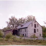
Photograph- Two lane covered bridge at Engleside, also called Graeff's Landing. Bridge built in 1824, demolished in 1961. 317 feet long. Two and a half story stone house at the Conestoga River. Group of people possibly waiting at the dock for the Lady Gay or Evelyn B. paddleboats.
Photograph- Two lane covered bridge at Engleside, also called Graeff's Landing. Bridge built in 1824, demolished in 1961. 317 feet long. Two and a half story stone house at the Conestoga River. Group of people possibly waiting at the dock for the Lady Gay or Evelyn B. paddleboats.
Description
Two lane covered bridge at Engleside, also called Graeff's Landing. Bridge built in 1824, demolished in 1961. 317 feet long. Two and a half story stone house at the Conestoga River. Group of people possibly waiting at the dock for the Lady Gay or Evelyn B. paddleboats.