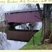
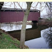
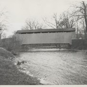
Bucher's Mill, .5 mile west of Reamstown in East Cocalico Township. County maintained on road T-955 just off Route 222, built in 1881, single span 60 feet long.
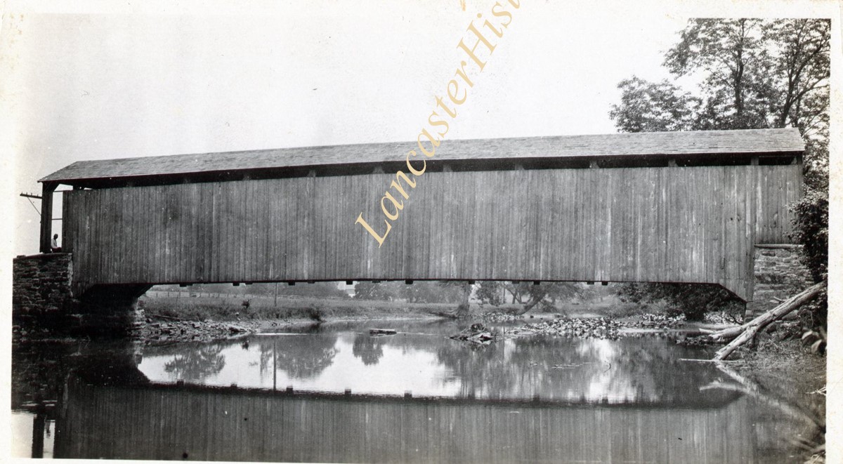
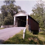
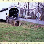
Rettew Mill bridge, also known as Keller's Mill bridge or Guy Bard's covered bridge. Built in 1873 by Elias McMellen. Originally over Cocalico Creek on Rettew Mill Road between Akron borough and Ephrata borough. Currently over Cocalico Creek on Middle Creek Road. Moved in 2010.
Provenance
Photographs of a 2003 Theodore Burr Covered Bridge Society bridge safari.
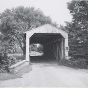
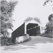
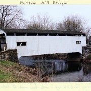