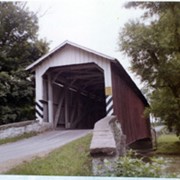
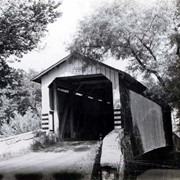
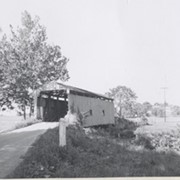
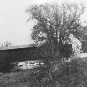
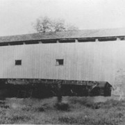
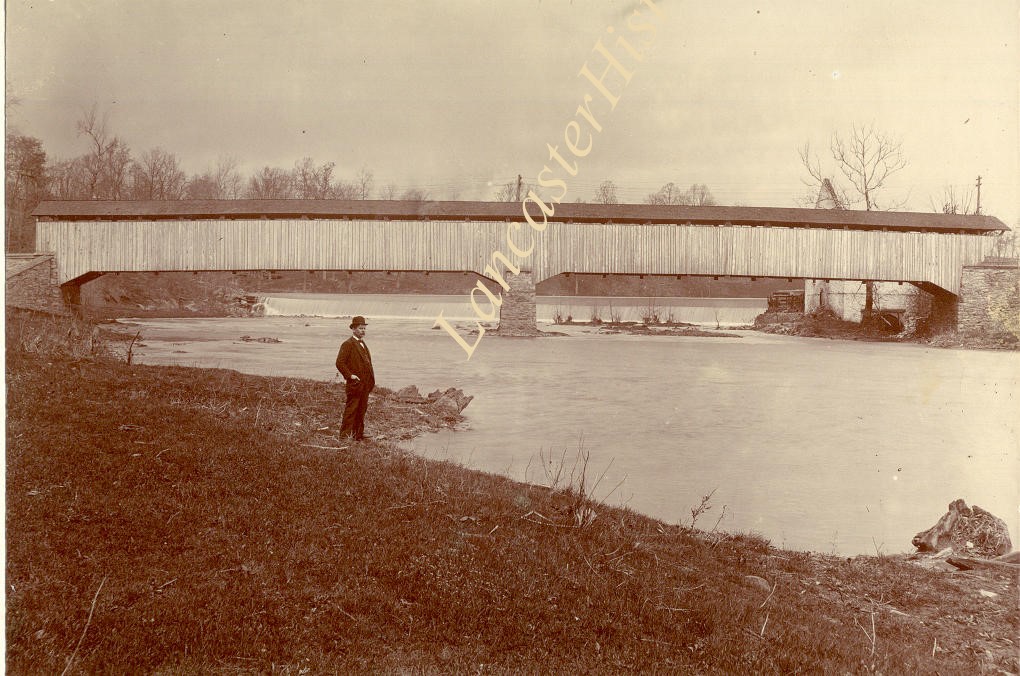
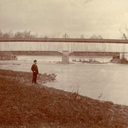
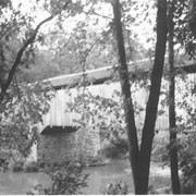
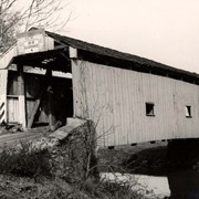
Photograph- Slackwater covered bridge, also called Shober's Paper Mill bridge between Conestoga Township and Manor Township on the road from Millersville to New Danville Pike. Built c. 1839, 269 feet long.
Photograph- Slackwater covered bridge, also called Shober's Paper Mill bridge between Conestoga Township and Manor Township on the road from Millersville to New Danville Pike. Built c. 1839, 269 feet long.
Description
Slackwater covered bridge, also called Shober's Paper Mill bridge between Conestoga Township and Manor Township on the road from Millersville to New Danville Pike. Built c. 1839, 269 feet long.