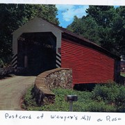
Wenger's Mill covered bridge, also called Rose Hill covered bridge, built in 1849 by Henry Zook. Located on Log Cabin Road, just off of Rose Hill Road. Post card.
Provenance
Photographs of a 2003 Theodore Burr Covered Bridge Society bridge safari.
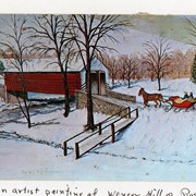
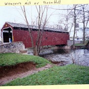
Wenger's Mill covered bridge, also called Rose Hill covered bridge, built in 1849 by Henry Zook. Located on Log Cabin Road, just off of Rose Hill Road. Postcard of painting by Louise Frank.
Provenance
Photographs of a 2003 Theodore Burr Covered Bridge Society bridge safari.
This record group contains canceled orders that were issued by the county commissioners for payment to be made by the county treasurer. The orders show date, order number, amount, name of payee, purpose, and signatures of the county commissioners. In the case of "poor children," teachers were reimbursed by the county for tuition and/or the supplies purchased for students whose parents were unable to pay. Orders include: Poor Children, Almshouse, Bridges, Coroners' Inquests, Prisons, Roads, Court House, and Tax Exonerations.
System of Arrangement
The record group is organized chronologically, then arranged by order number within each year.
Payment for Lancaster County's proportional part of the expenses in making and laying out the state road from Henry Stultzbach's tanyard on the York and Columbia Turnpike in York County to Colebrook Furnace in Lebanon County by way of Marietta.
Masterson, Thomas. For laying out the road.
Thorne, John. For laying out the road.
Stultzbach, Henry. For laying out the road.
Greider, John. For marking the road.
Ferrel, Jared. Chain carrier.
Thorne, Samuel. Chain carrier.
Thorne, John. For drafting the road.
1 item. 1 piece.
Access Conditions / Restrictions
Request at research desk. Photocopy made by staff member.
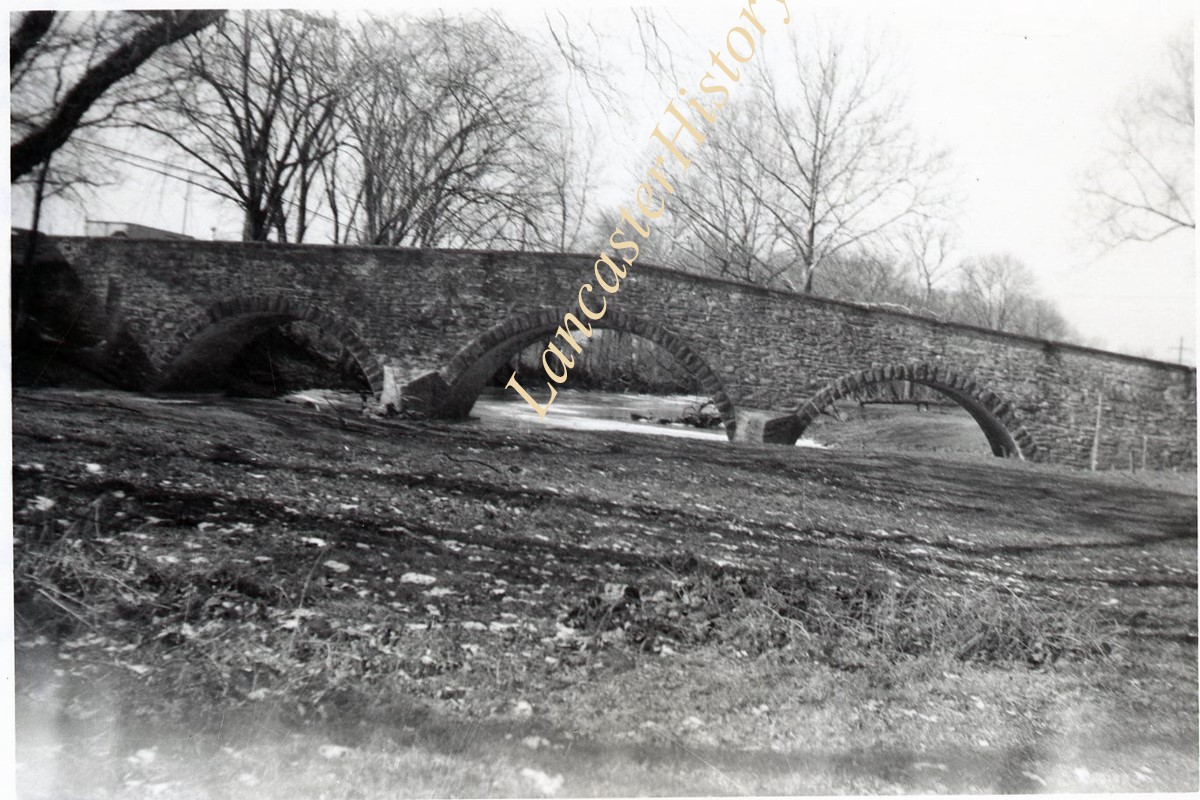
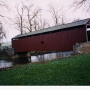
Wenger's Mill covered bridge, also called Rose Hill covered bridge, built in 1849 by Henry Zook. Located on Log Cabin Road, just off of Rose Hill Road.
Provenance
Photographs of a 2003 Theodore Burr Covered Bridge Society bridge safari.
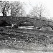
Wenger's Mill covered bridge, also called Rose Hill covered bridge, built in 1849 by Henry Zook. Located on Log Cabin Road, just off of Rose Hill Road.
Provenance
Photographs of a 2003 Theodore Burr Covered Bridge Society bridge safari.
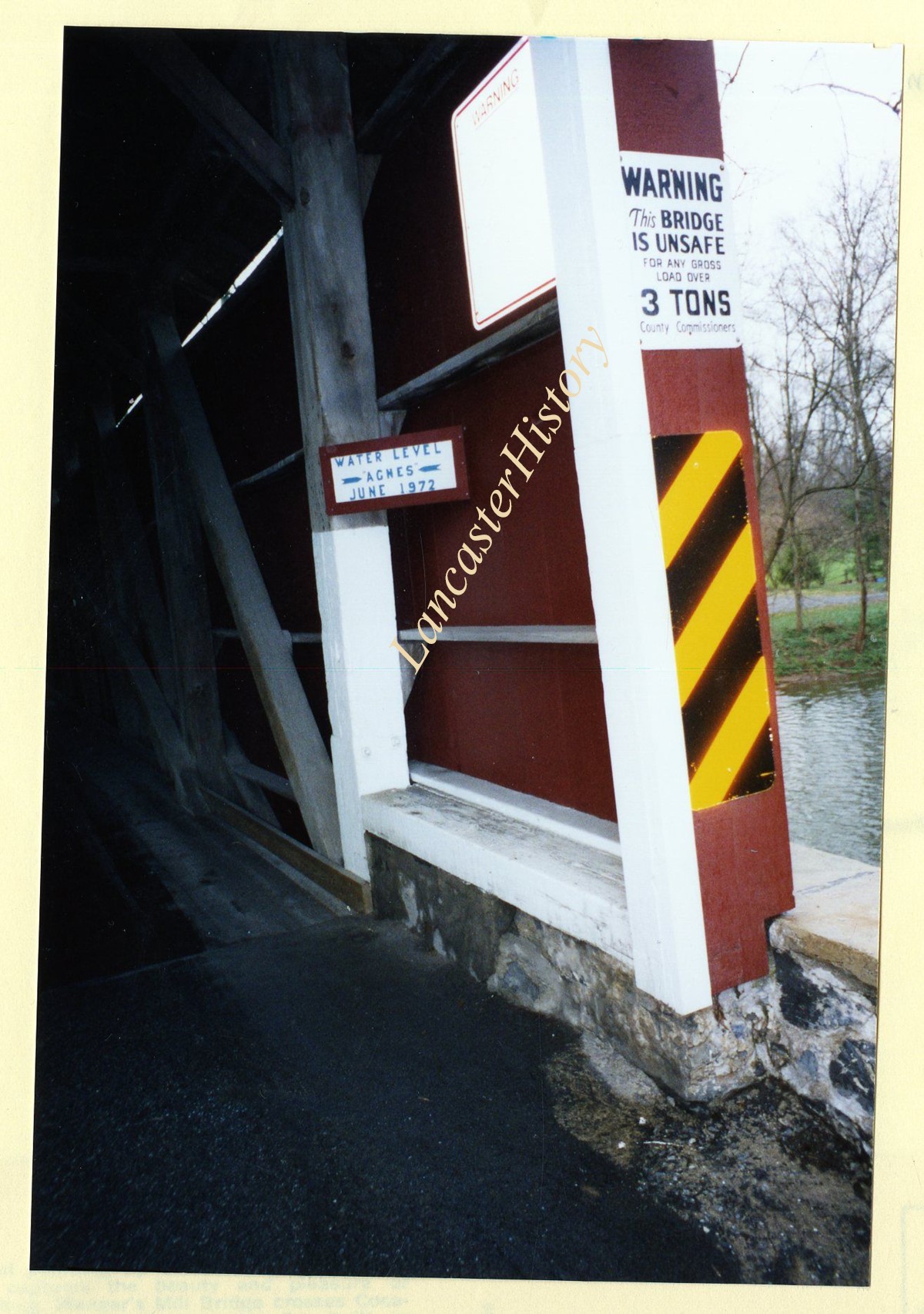
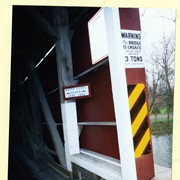
Wenger's Mill covered bridge, also called Rose Hill covered bridge, built in 1849 by Henry Zook. Located on Log Cabin Road, just off of Rose Hill Road. Close of high water mark during Hurricane Agnes, June 1972.
Provenance
Photographs of a 2003 Theodore Burr Covered Bridge Society bridge safari.