Original documents may be used by appointment--contact Research@LancasterHistory.org prior to visit.
Copyright
Collection may be photographed. Please direct questions to Research Center Staff at Research@LancasterHistory.org.
Permission for reproduction and/or publication must be obtained in writing from LancasterHistory. Persons wishing to publish any material from this site must assume all responsibility for identifying and satisfying any claimants of copyright or other use restrictions. Publication fees may apply.
Credit
Courtesy of LancasterHistory, Lancaster, Pennsylvania.
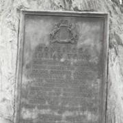
Boulder and bronze tablet at the site of Conestoga Indian Town. The town was located on the road from Letort to Safe Harbor in Manor Township between the years of 1682 and 1763. Monument erected in 1924.
Provenance
Album of historical markers erected by the Lancaster County Historical Society, compiled by George L. Heiges in 1986.
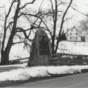
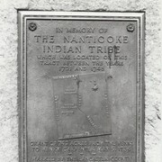
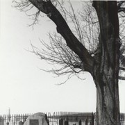
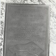
Boulder and bronze tablet at the site of Conoy Indian Town (1718 - 1743) near Bainbridge. It also honored the memory of French trader Peter Bezaillion. He laid out a road from this point to Compass, Chester County. Monument erected in 1933.
Provenance
Album of historical markers erected by the Lancaster County Historical Society, compiled by George L. Heiges in 1986.