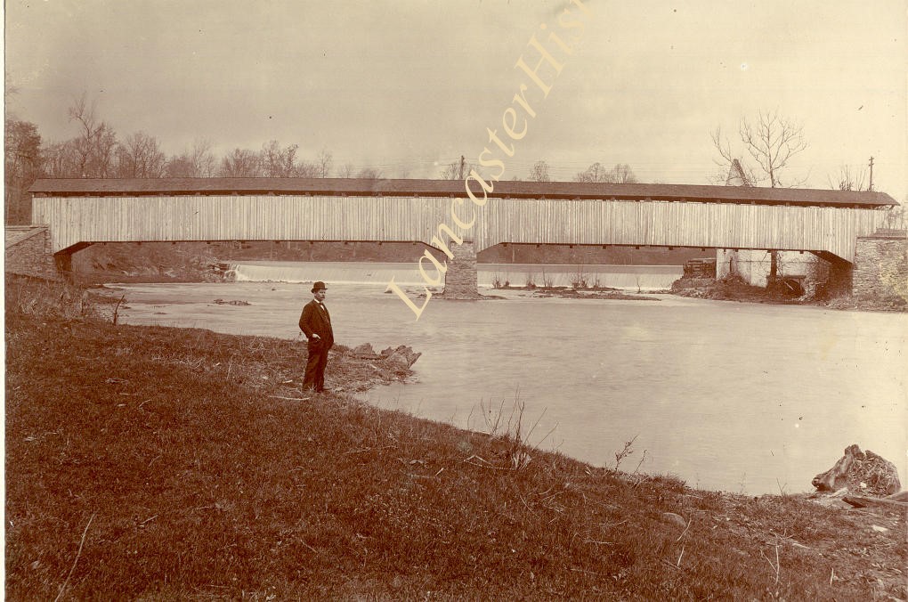
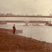
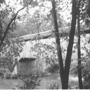
Photograph- Slackwater covered bridge, also called Shober's Paper Mill bridge between Conestoga Township and Manor Township on the road from Millersville to New Danville Pike. Built c. 1839, 269 feet long.
Photograph- Slackwater covered bridge, also called Shober's Paper Mill bridge between Conestoga Township and Manor Township on the road from Millersville to New Danville Pike. Built c. 1839, 269 feet long.
Description
Slackwater covered bridge, also called Shober's Paper Mill bridge between Conestoga Township and Manor Township on the road from Millersville to New Danville Pike. Built c. 1839, 269 feet long.
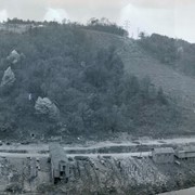
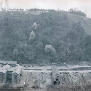
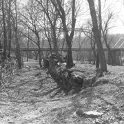
Photograph- Remains of Lock No. 6 of Conestoga Navigation Company, one mile above mouth of Conestoga River at Safe Harbor. Canal was in operation from 1828 to 1865.
Photograph- Remains of Lock No. 6 of Conestoga Navigation Company, one mile above mouth of Conestoga River at Safe Harbor. Canal was in operation from 1828 to 1865.
Description
Remains of Lock No. 6 of Conestoga Navigation Company, one mile above mouth of Conestoga River at Safe Harbor. Canal was in operation from 1828 to 1865.
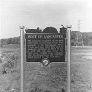
Photograph- Historic marker placed by Pennsylvania Water and Power Company near Safe Harbor.
Port of Lancaster. The Conestoga Navigation Company, incorporated 1825, constructed on Conestoga Creek, from lancaster to the Susquehanna River, 9 locks and dams which wer used for slackwater navigation for about 40 years. A rock fill crib dam across the river made possible cargo exchanges with the Susquehanna and Tidewater Canal located on the west shore.
Description
Historic marker placed by Pennsylvania Water and Power Company near Safe Harbor.
Port of Lancaster. The Conestoga Navigation Company, incorporated 1825, constructed on Conestoga Creek, from lancaster to the Susquehanna River, 9 locks and dams which wer used for slackwater navigation for about 40 years. A rock fill crib dam across the river made possible cargo exchanges with the Susquehanna and Tidewater Canal located on the west shore.