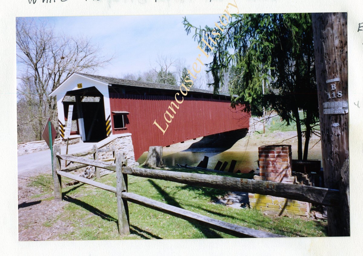
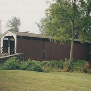
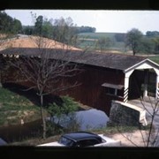
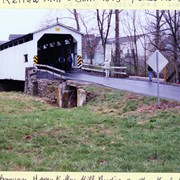
Rettew Mill bridge, also known as Keller's Mill bridge or Guy Bard's covered bridge. Built in 1873 by Elias McMellen. Originally over Cocalico Creek on Rettew Mill Road between Akron borough and Ephrata borough. Currently over Cocalico Creek on Middle Creek Road. Moved in 2010.
Provenance
Photographs of a 2003 Theodore Burr Covered Bridge Society bridge safari.
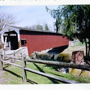
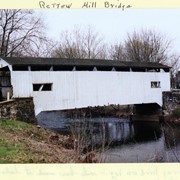
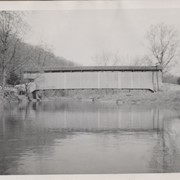
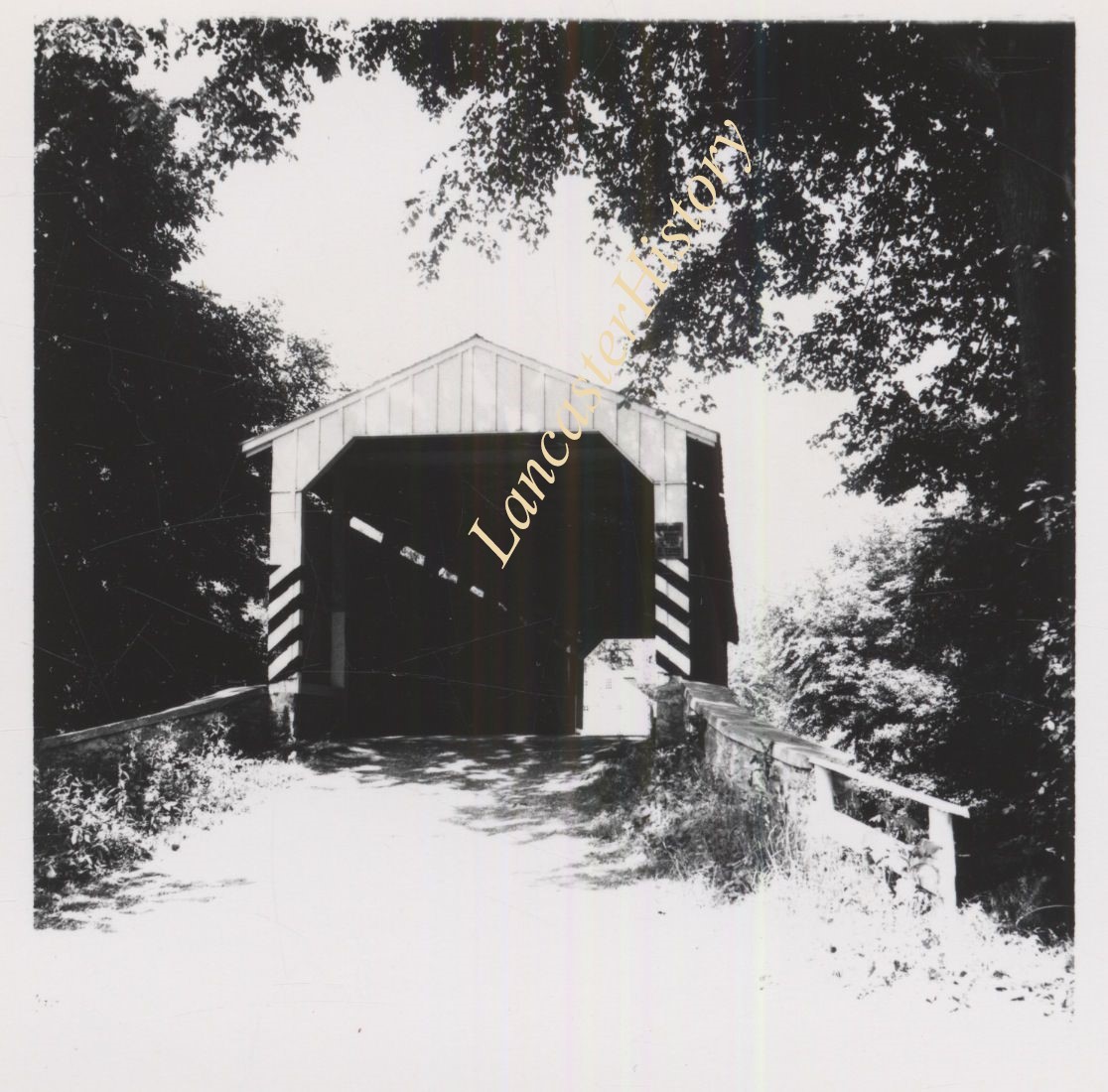
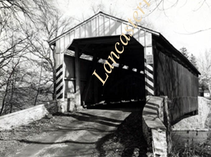
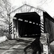
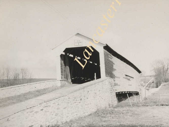
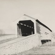
Wabank Mill bridge, also called Third Lock bridge, on the Conestoga River between Lancaster and Pequea townships. This bridge was replaced by a road relocation in 1958.
Provenance
Lancaster County covered bridge photos taken by M. E. Schroll and Kathryn L. Sauder taken between 1956 and 1958.
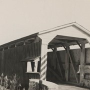
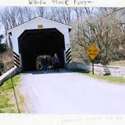
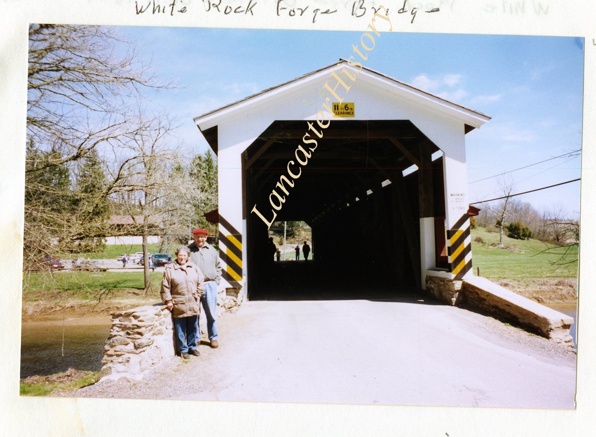
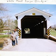
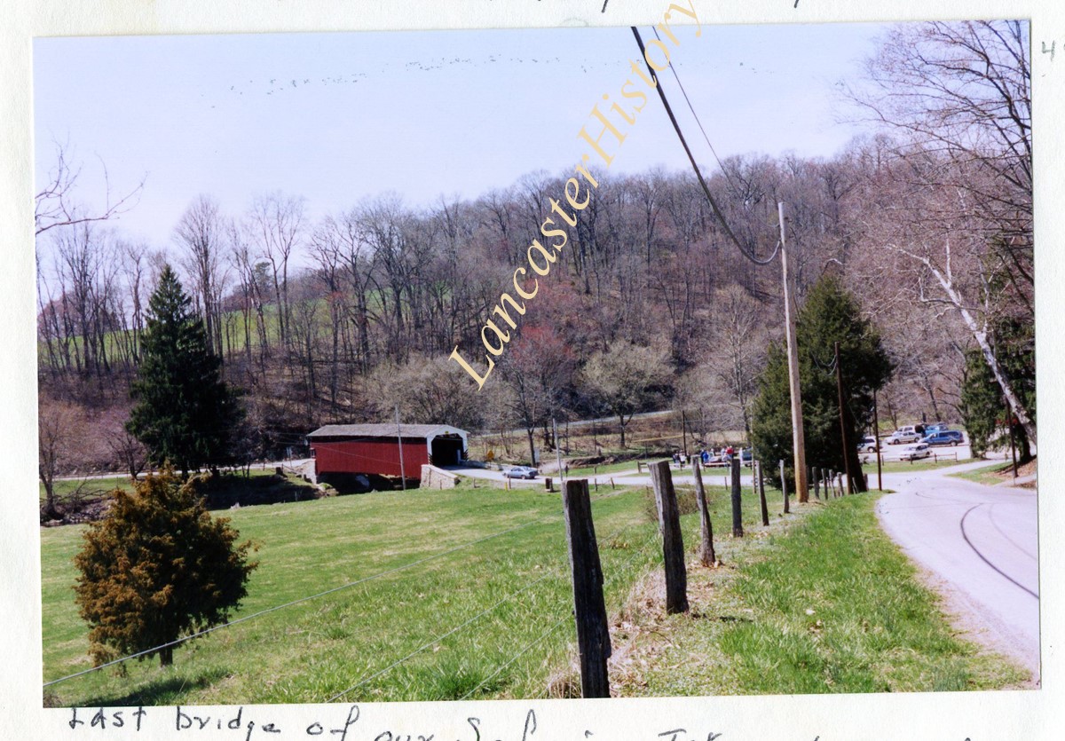
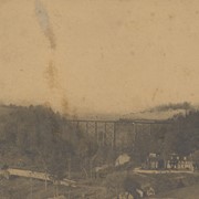
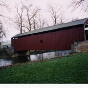
Wenger's Mill covered bridge, also called Rose Hill covered bridge, built in 1849 by Henry Zook. Located on Log Cabin Road, just off of Rose Hill Road.
Provenance
Photographs of a 2003 Theodore Burr Covered Bridge Society bridge safari.