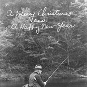
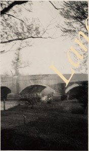
Photograph- Stone arch bridge at Nolt's Mill at junction of Lititz Creek and Conestoga River. Man standing on a rock in the creek fishing with a net while two boys watch from the bridge.
Photograph- Stone arch bridge at Nolt's Mill at junction of Lititz Creek and Conestoga River. Man standing on a rock in the creek fishing with a net while two boys watch from the bridge.
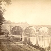
Description
Stone arch bridge at Nolt's Mill at junction of Lititz Creek and Conestoga River. Man standing on a rock in the creek fishing with a net while two boys watch from the bridge.
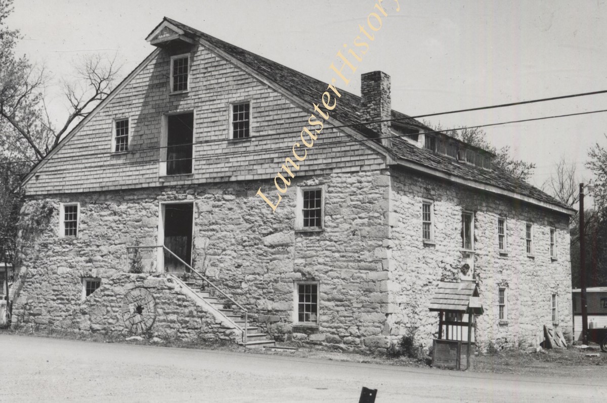
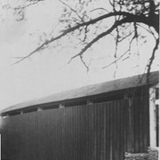
Photograph- Drumore Mill, on Fishing Creek in Drumore Township. Known originally as Cowgill's Mill, it became the center of an industrial complex that included a sawmill, fulling mill, hemp mill and a distillery.
Photograph- Drumore Mill, on Fishing Creek in Drumore Township. Known originally as Cowgill's Mill, it became the center of an industrial complex that included a sawmill, fulling mill, hemp mill and a distillery.
Description
Drumore Mill, on Fishing Creek in Drumore Township. Known originally as Cowgill's Mill, it became the center of an industrial complex that included a sawmill, fulling mill, hemp mill and a distillery.
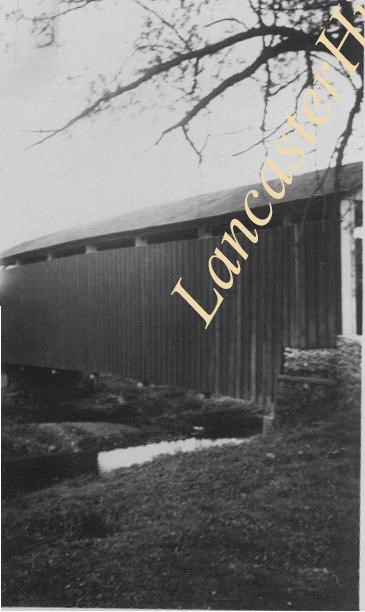
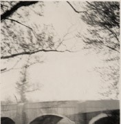
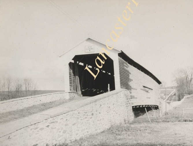
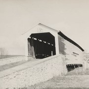
Photograph- Bell Bank covered bridge across the Octoraro Creek four miles south of Nine Points, between Colerain Township, Lancaster County and Upper Oxford Township, Chester County.
Photograph- Bell Bank covered bridge across the Octoraro Creek four miles south of Nine Points, between Colerain Township, Lancaster County and Upper Oxford Township, Chester County.
Description
Bell Bank covered bridge across the Octoraro Creek four miles south of Nine Points, between Colerain Township, Lancaster County and Upper Oxford Township, Chester County.
Provenance
Lancaster County covered bridge photos taken by M. E. Schroll and Kathryn L. Sauder taken between 1956 and 1958.