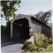
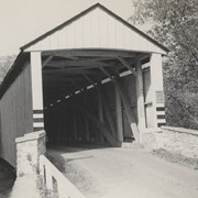
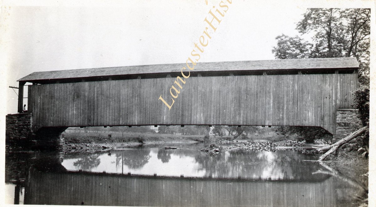
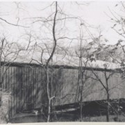
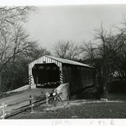
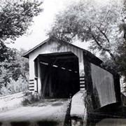
Covered bridge on the Little Chiques Creek at The Springs, south of Mount Joy. Carried away by flood and replaced by a steel bridge. Located on Longenecker Road, Mount Joy Borough
Provenance
Lancaster County covered bridge photos taken by M. E. Schroll and Kathryn L. Sauder taken between 1956 and 1958.
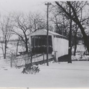
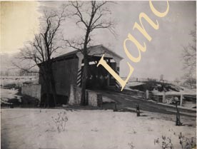
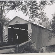
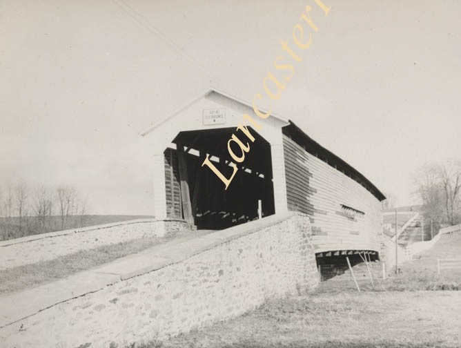
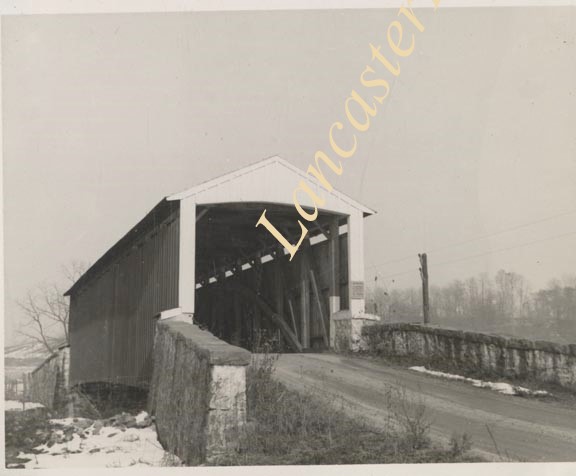
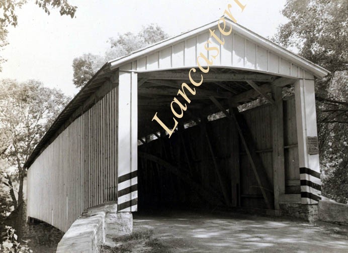
Wabank Mill bridge, also called Third Lock bridge, on the Conestoga River between Lancaster and Pequea townships. This bridge was replaced by a road relocation in 1958.
Provenance
Lancaster County covered bridge photos taken by M. E. Schroll and Kathryn L. Sauder taken between 1956 and 1958.
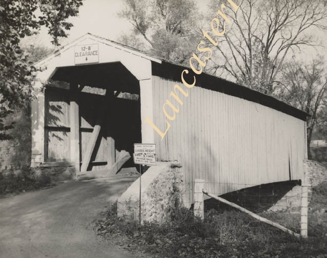
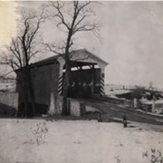
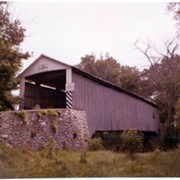
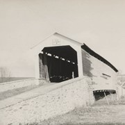
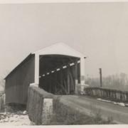
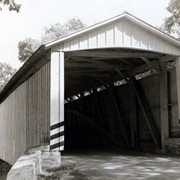
Siegrist's Mill covered bridge (also called Michael Moore's Mill) on the Big Chiques Creek southeast of Newtown between Rapho and East Hempfield townships.
Provenance
Lancaster County covered bridge photos taken by M. E. Schroll and Kathryn L. Sauder taken between 1956 and 1958.
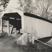
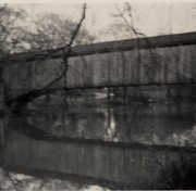
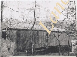
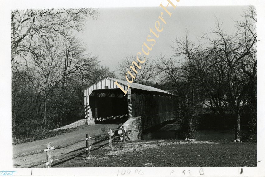
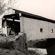
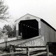
Siegrist's Mill covered bridge (also called Michael Moore's Mill) on the Big Chiques Creek southeast of Newtown bewteen East Hempfield and Rapho townships.
Provenance
Lancaster County covered bridge photos taken by M. E. Schroll and Kathryn L. Sauder taken between 1956 and 1958.