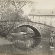
Photograph- Stone arch bridge at Nolt's Mill at junction of Lititz Creek and Conestoga River. Man standing on a rock in the creek fishing with a net while two boys watch from the bridge.
Photograph- Stone arch bridge at Nolt's Mill at junction of Lititz Creek and Conestoga River. Man standing on a rock in the creek fishing with a net while two boys watch from the bridge.
Description
Stone arch bridge at Nolt's Mill at junction of Lititz Creek and Conestoga River. Man standing on a rock in the creek fishing with a net while two boys watch from the bridge.
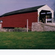
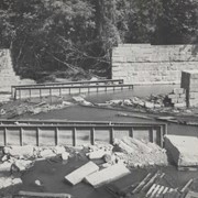
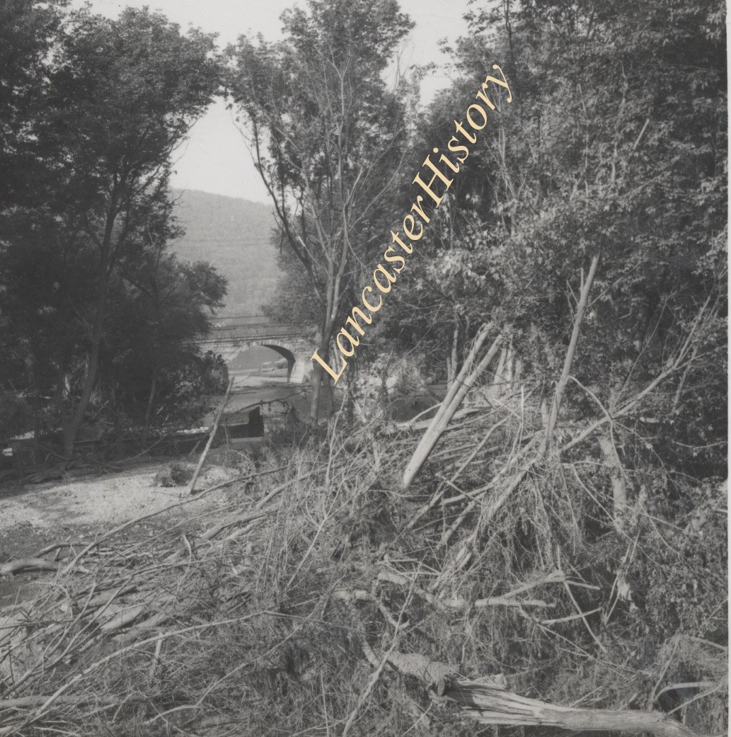
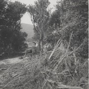
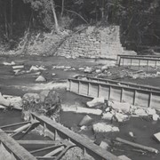
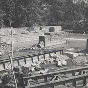
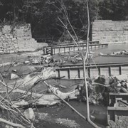
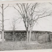
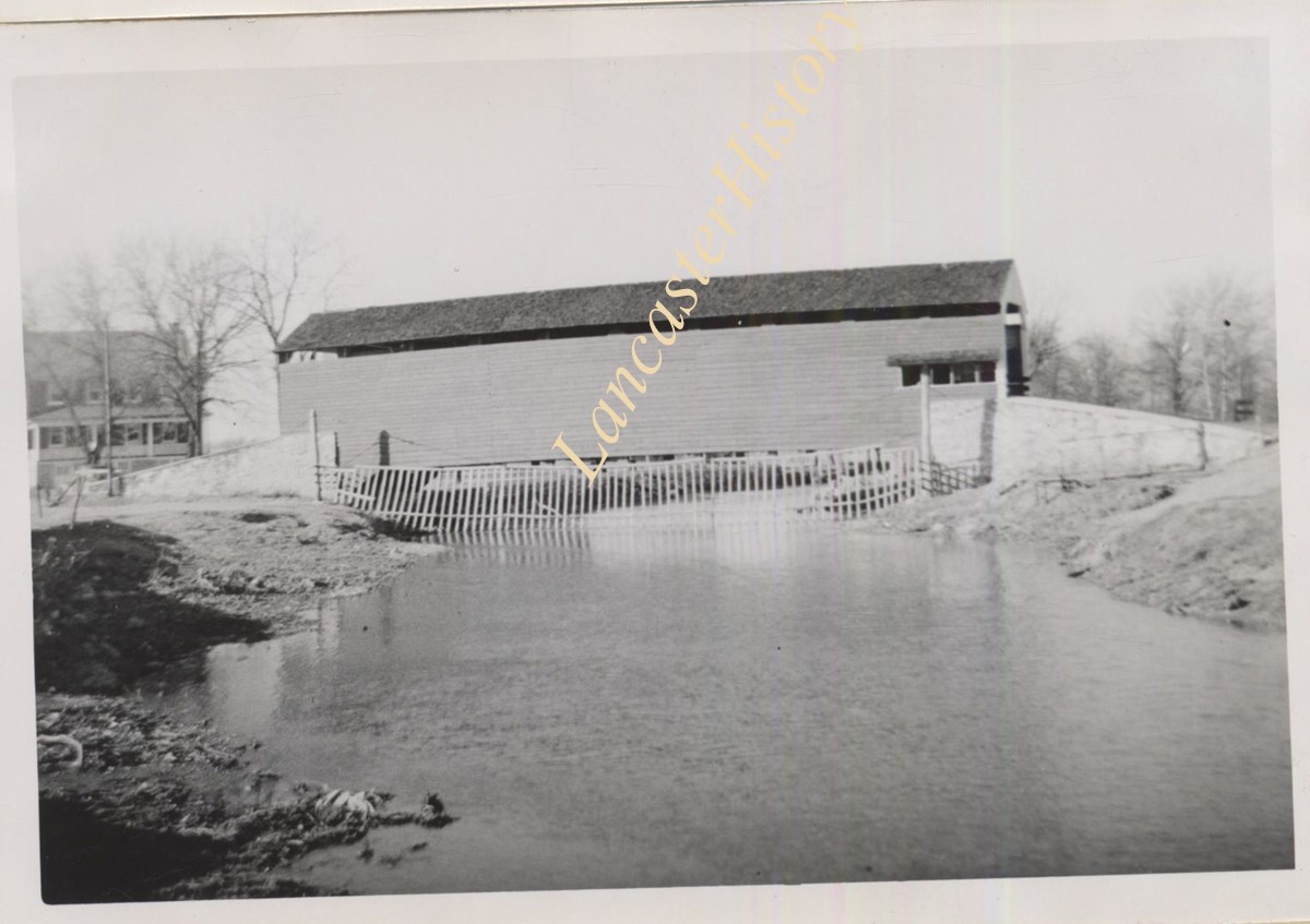
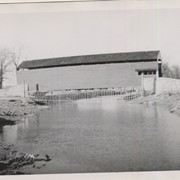
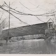
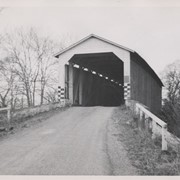
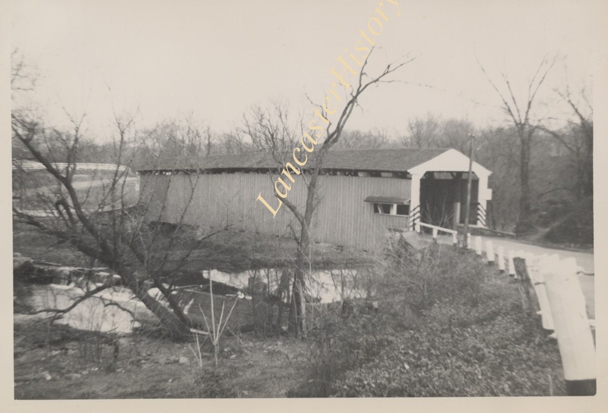
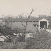
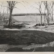
Covered bridge on the Little Chiques Creek at The Springs, south of Mount Joy. Carried away by flood and replaced by a steel bridge. Located on Longenecker Road, Mount Joy Borough
Provenance
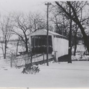
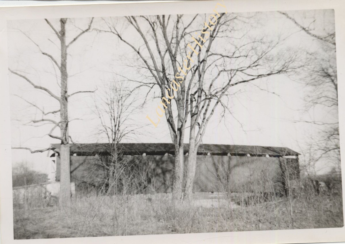
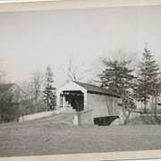
Lancaster County covered bridge photos taken by M. E. Schroll and Kathryn L. Sauder taken between 1956 and 1958.
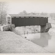
Kauffman's Distillery bridge, on road T-889 from Manheim to Sporting Hill and between townships of Penn and Rapho. County maintained, built in 1874 (frist bridge 1857), single span 96 feet long.
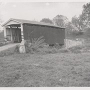
Jacob Shearer's bridge, south of Lancaster Junction, between Rapho and East Hempfield Townships. County maintained on road T-374, built in 1856, single span 90 feet long.
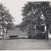
Shenk's Mill, one mile north of Salunga, between Rapho and East Hempfield Townships. County maintained on road T-372, built in 1855 (first bridge 1847), single span 96 feet long.
Michael Moore's Mill bridge, or Seigrist's Mill bridge, between Rapho and West Hempfield Townships, two miles northwest of Silver Spring. County maintained on road T-360, built in 1885, single span about 80 feet long.
John Forry's bridge, just off Marietta Pike two miles west of Silver Spring, between Rapho and West Hempfield Townships. County maintained on road T-362, built in 1869, single span 103 feet long.
Amwake's Mill, one mile southwest of Newtown, between Rapho and West Hempfield Townships. State supervised on road LR 36067, builit in 1875, single span 133 feet long.
Covered bridge two miles north of Mount Joy, between Rapho and Mount Joy Townships. State supervised on road LR 36069, built in 1849, single span 68 feet long.
Johnson's Mill covered bridge, 1.5 miles east of Marietta, between East Donegal and Rapho Townships. County maintained on road T-356, built in 1867 (first bridge 1854), single span 80 feet long.