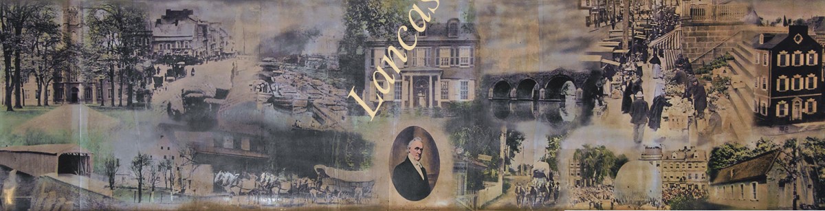
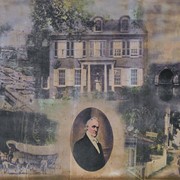
Photograph of a framed, hand tinted collage of photographs of people and scenes around Lancaster County including James Buchanan, Wheatland, curbside market at East King Street, Donegal Presbyterian Church, Witmer's Bridge, a covered bridge, Conestoga Wagon, John Wise's balloon ascension from Penn Square and old City Hall.
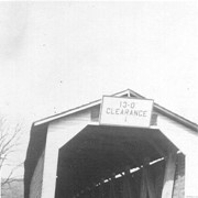
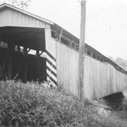
Photograph- Lime Valley covered bridge, also known as Huntzinger's Mill bridge. Located between Strasburg Township and West Lampter Township on the Pequea Creek.
Photograph- Lime Valley covered bridge, also known as Huntzinger's Mill bridge. Located between Strasburg Township and West Lampter Township on the Pequea Creek.
Description
Lime Valley covered bridge, also known as Huntzinger's Mill bridge. Located between Strasburg Township and West Lampter Township on the Pequea Creek.
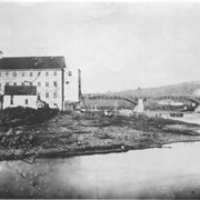
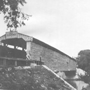
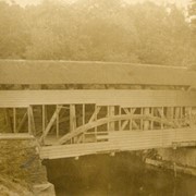
Photograph- Slackwater covered bridge, also called Shober's Paper Mill bridge between Conestoga Township and Manor Township on the road from Millersville to New Danville Pike. Built c. 1839, 269 feet long.
Photograph- Slackwater covered bridge, also called Shober's Paper Mill bridge between Conestoga Township and Manor Township on the road from Millersville to New Danville Pike. Built c. 1839, 269 feet long.
Description
Slackwater covered bridge, also called Shober's Paper Mill bridge between Conestoga Township and Manor Township on the road from Millersville to New Danville Pike. Built c. 1839, 269 feet long.
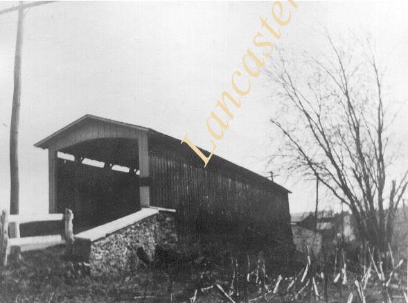
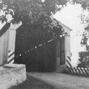
Photograph- Spruce Grove covered bridge over the west branch of the Octoraro Creek. At right is one of the concrete piers for the concrete bridge which replaced it.
Photograph- Spruce Grove covered bridge over the west branch of the Octoraro Creek. At right is one of the concrete piers for the concrete bridge which replaced it.
Description
Spruce Grove covered bridge over the west branch of the Octoraro Creek. At right is one of the concrete piers for the concrete bridge which replaced it.
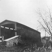
Photograph- Hunsicker's or Hunsecker's covered bridge over the Conestoga River. Built in 1848, 180 feet long. Destroyed by Hurricane Agnes in June 1972.
Photograph- Hunsicker's or Hunsecker's covered bridge over the Conestoga River. Built in 1848, 180 feet long. Destroyed by Hurricane Agnes in June 1972.
Description
Hunsicker's or Hunsecker's covered bridge over the Conestoga River. Built in 1848, 180 feet long. Destroyed by Hurricane Agnes in June 1972.