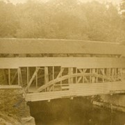
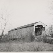
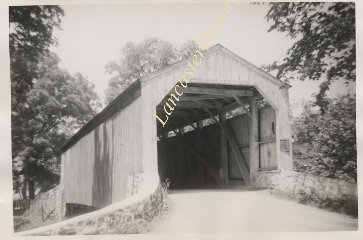
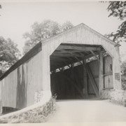
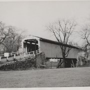
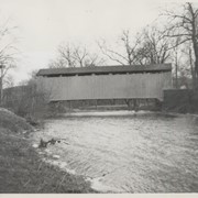
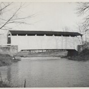
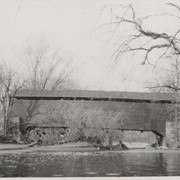
Photograph- Spruce Grove covered bridge over the west branch of the Octoraro Creek. At right is one of the concrete piers for the concrete bridge which replaced it.
Photograph- Spruce Grove covered bridge over the west branch of the Octoraro Creek. At right is one of the concrete piers for the concrete bridge which replaced it.
Description
Spruce Grove covered bridge over the west branch of the Octoraro Creek. At right is one of the concrete piers for the concrete bridge which replaced it.
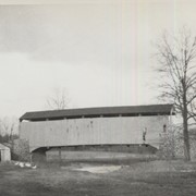
Good's Sawmill covered bridge, .5 mile south of Fivepointville, between East Earl and Brecknock Townships. State supervised on road LR 30612, built in 1851, single span 82 feet long.
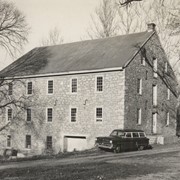
Joseph Oberholtzer's Mill, at Red Bank, 1.5 miles north west of Terre Hill, between Earl and Brecknock Townships. State supervised on LR 36013, built 1866, single span 128 feet long.
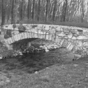
Fry's Mill, one mile east of Hahnstown between Ephrata and East Cocalico Townships. County maintained on road T-813, built in 1849, single span 95 feet long.
Gable's Fording, one mile northeast of Hinkletown, near confluence with Conestoga River, between Earl and Ephrata Townships. State supervised on road LR 36052, built in 1872, single span 129 feet long.
Bucher's Mill, .5 mile west of Reamstown in East Cocalico Township. County maintained on road T-955 just off Route 222, built in 1881, single span 60 feet long.
Keller's Mill, .5 mile north of Akron in Ephrata Township. County maintained on road T-656, built in 1891 (first bridge 1873), single span 76 feet long.