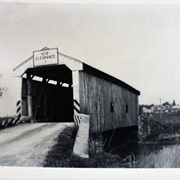
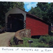
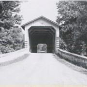
Wenger's Mill covered bridge, also called Rose Hill covered bridge, built in 1849 by Henry Zook. Located on Log Cabin Road, just off of Rose Hill Road. Post card.
Provenance
Photographs of a 2003 Theodore Burr Covered Bridge Society bridge safari.
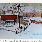
Wenger's Mill covered bridge, also called Rose Hill covered bridge, built in 1849 by Henry Zook. Located on Log Cabin Road, just off of Rose Hill Road. Postcard of painting by Louise Frank.
Provenance
Photographs of a 2003 Theodore Burr Covered Bridge Society bridge safari.
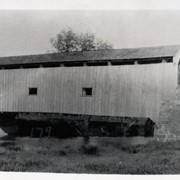
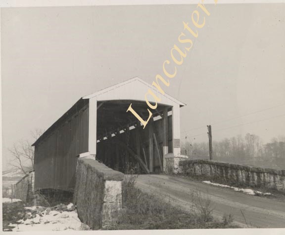
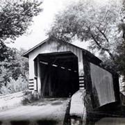
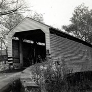
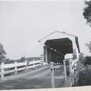
Photograph- End view of Gable's Fording covered bridge across Muddy Creek near Hinkletown, between Ephrata and Earl townships. Bridge no longer standing.
Photograph- End view of Gable's Fording covered bridge across Muddy Creek near Hinkletown, between Ephrata and Earl townships. Bridge no longer standing.
Description
End view of Gable's Fording covered bridge across Muddy Creek near Hinkletown, between Ephrata and Earl townships. Bridge no longer standing.
Provenance
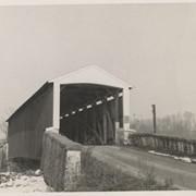
Lancaster County covered bridge photos taken by M. E. Schroll and Kathryn L. Sauder taken between 1956 and 1958.