Skip header and navigation

Revise Search

12 records – page 1 of 2.

Collection
Coulter and Hepler Land Records
Title
Coulter and Hepler Land Records
Object ID
MG0426
Date Range
1733-1929
Finding aids Land drafts Manuscript groups National Fire & Marine Insurance Co. of New Jersey
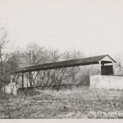
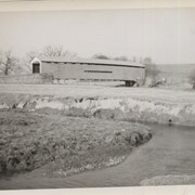
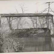
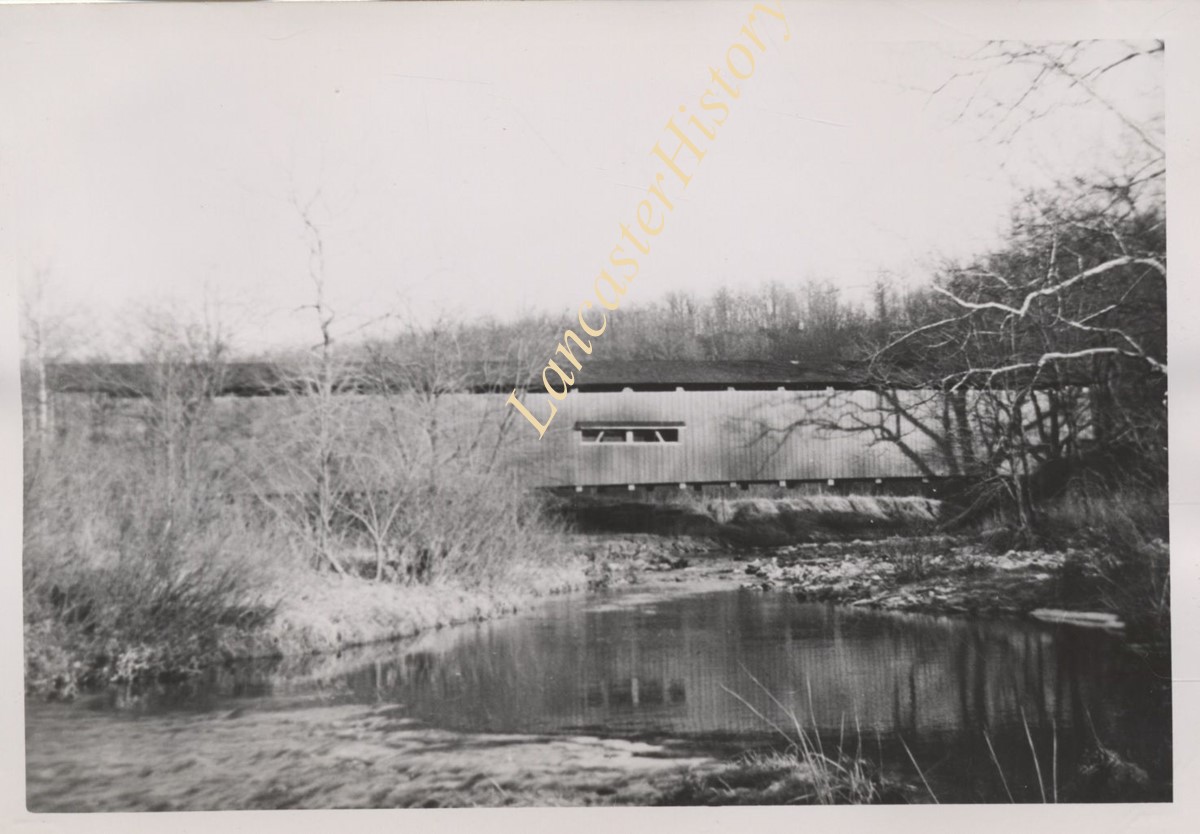
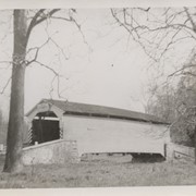
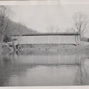
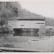
 Octoraro Creek Quarryville Real estate Sadsbury Twp. Processing History: This collection has been documented, preserved and managed according to professional museum and archives standards. The finding aid was
  1 document  
Collection
Coulter and Hepler Land Records
Title
Coulter and Hepler Land Records
Description
The Coulter and Hepler Land Records contain property records for land in southeastern Lancaster County that once belonged to the Reids, Coulters, and Heplers. The records include deeds, land drafts, and articles of agreement. There is also a desk blotter for I. P. Hepler.
Admin/Biographical History
Walter R. and Esther E. Hepler (parents of donor) purchased a farm from R. M. Coulter in 1929. The farm was located in Bart Twp. and Colerain Twp. with an address of 113 Rosedale Road, Quarryville. In the early 1930s, Walter was injured in a farm accident and the family had to sell the farm in a sheriff's sale. They subsequently lived with Esther's parents and helped on their farm, earning 50¢ per week plus meals and shelter. Somehow, Walter was able to keep the family's truck through these difficult times.
He later was employed as manager at the Capital Theatre in Lancaster where he earned $14.75 per week. He moved the family into a three-story house in Lancaster with indoor plumbing and electricity, which was an exciting change for the children-James and his sister, Dorothy. As the U.S. emerged from the Depression and entered World War II, Walter used his carpentry skills to obtain a position in the shipyards and earned $2.37½ per day. James Hepler retired from Trojan Yachts as a boat-builder.
Date Range
1733-1929
Year Range From
1733
Year Range To
1929
Date of Accumulation
1733-1929
Creator
Hepler, Walter Rupert, 1897-1967
Storage Location
LancasterHistory, Lancaster, PA
Storage Room
Archives South
Storage Wall
Side 10
People
Armstrong, Jackson
Beyer, John D.
Caughey, John
Coulter, Hugh
Coulter, James
Coulter, John
Coulter, Nathaniel
Coulter, Rankin Martin
Coulter, Samuel
Dip, Robert
Downing, Samuel
Duire, David
Eastburn, Benjamin
Eshleman, B. B.
Eshleman, Isaac S.
Eshleman, William G.
Hepler, Esther E. Sheaffer
Hepler, Israel Painter
Hepler, Walter Rupert
Homsher, John
Hunter, Alexander
Jackson, Levin H.
Johnson, J. B.
Johnson. J. Buckley
McCauley, James
McNiss, Edgar
Parke, John
Read, Andrew
Read, John
Read, Nathan
Read, Sarah
Read, Thomas
Reid, Andrew
Reid, Sarah
Reinhart, William
Thompson, John
Thompson, Mary
Trout, Frank M.
Trout, Jerre P.
Wilson, Josephine
Other Creators
Hepler, Esther E. Sheaffer, 1901-1997
Coulter, Rankin Martin, 1860-1929
Coulter family
Subjects
Advertisements
Blotting paper
Deeds
Real property
Real property surveys
Search Terms
Advertisements
Bart Twp.
Blotters (Paper)
Colerain Twp.
Deeds
Finding aids
Land drafts
Manuscript groups
National Fire and Marine Insurance Company of New Jersey
Octoraro Creek
Quarryville
Real estate
Sadsbury Twp.
Extent
1 oversized box, 7 folders, 1 cubic ft.
Object Name
Archive
Language
English
Object ID
MG0426
Location of Originals
LancasterHistory, Lancaster, Pennsylvania
Notes
Preferred Citation: Title or description of item, date (day, month, year), Coulter and Hepler Land Records (MG0426), Folder #, LancasterHistory, Lancaster, Pennsylvania.
Access Conditions / Restrictions
No restrictions.
Copyright
Collection may not be photocopied. Please direct questions to Research Center Staff at research@LancasterHistory.org. Permission for reproduction and/or publication must be obtained in writing from LancasterHistory.
Credit
Courtesy of LancasterHistory, Lancaster, Pennsylvania.
Accession Number
2007.MG0426
Other Numbers
MG-426
Classification
MG0426
Description Level
Fonds
Custodial History
Added to database 28 December 2021.
Documents
Less detail
Collection
Covered Bridge Album
Object ID
A-11-01-33
Date Range
1950
  1 image  
Object Name
Print, Photographic
Collection
Covered Bridge Album
Description
Mercer's Fording, 1.5 miles south of Christiana in Sadsbury Township. County maintained on road T-976, built in 1880, single span 103 feet long.
Date Range
1950
Creator
Gaintner, Jay Richard
Storage Location
LancasterHistory, Lancaster, PA
Subcategory
Documentary Artifact
Search Terms
Bridges
Covered bridges
Octoraro Creek
Place
Sadsbury Twp.
Object Name
Print, Photographic
Print Size
8 x 10 inches
Object ID
A-11-01-33
Images
Less detail
Collection
Covered Bridge Album
Object ID
A-11-01-34
Date Range
1950
  1 image  
Object Name
Print, Photographic
Collection
Covered Bridge Album
Description
Newcomer's Bridge, 1.5 miles south of Octoraro in Colerain Township. County maintained on road T-772, built in 1888, single span 98 feet long.
Date Range
1950
Creator
Gaintner, Jay Richard
Storage Location
LancasterHistory, Lancaster, PA
Subcategory
Documentary Artifact
Search Terms
Bridges
Covered bridges
Octoraro Creek
Place
Colerain Twp.
Object Name
Print, Photographic
Print Size
8 x 10 inches
Object ID
A-11-01-34
Images
Less detail
Collection
Covered Bridge Album
Object ID
A-11-01-35
Date Range
1950
  1 image  
Object Name
Print, Photographic
Collection
Covered Bridge Album
Description
Bellbank Bridge, 2.5 miles east of Union in Colerain Township. State supervised on road LR 36022, built in 1861 (first bridge 1850), single span 131 feet long.
Date Range
1950
Creator
Gaintner, Jay Richard
Storage Location
LancasterHistory, Lancaster, PA
Subcategory
Documentary Artifact
Search Terms
Bridges
Covered bridges
Octoraro Creek
Union, Colerain Twp.
Place
Colerain Twp.
Object Name
Print, Photographic
Print Size
8 x 10 inches
Object ID
A-11-01-35
Images
Less detail
Collection
Covered Bridge Album
Object ID
A-11-01-36
Date Range
1950
  1 image  
Object Name
Print, Photographic
Collection
Covered Bridge Album
Description
Worth's Bridge, 2.5 miles southeast of Union in Colerain Township. County maintained on road T-764, built in 1857 (first bridge 1841), single span 60 feet long.
Date Range
1950
Creator
Gaintner, Jay Richard
Storage Location
LancasterHistory, Lancaster, PA
Subcategory
Documentary Artifact
Search Terms
Bridges
Covered bridges
Octoraro Creek
Union, Colerain Twp.
Place
Colerain Twp.
Object Name
Print, Photographic
Print Size
8 x 10 inches
Object ID
A-11-01-36
Images
Less detail
Collection
Covered Bridge Album
Object ID
A-11-01-37
Date Range
1950
  1 image  
Object Name
Print, Photographic
Collection
Covered Bridge Album
Description
Pine Grove Covered Bridge in Little Britain Township. State supervised on road LR 36018, built in 1884 (first bridge 1815, second bridge 1846), double span 204 feet long.
Date Range
1950
Creator
Gaintner, Jay Richard
Storage Location
LancasterHistory, Lancaster, PA
Subcategory
Documentary Artifact
Search Terms
Bridges
Covered bridges
Octoraro Creek
Pine Grove Covered Bridge
Place
Little Britain Twp.
Object Name
Print, Photographic
Print Size
8 x 10 inches
Object ID
A-11-01-37
Images
Less detail
Collection
Covered Bridge Album
Object ID
A-11-01-38
Date Range
1950
  1 image  
Object Name
Print, Photographic
Collection
Covered Bridge Album
Description
Jackson's Mill, four miles east of Quarryville in Bart Township. County maintained on road T-696, built in 1878, single span 156 feet long.
Date Range
1950
Creator
Gaintner, Jay Richard
Storage Location
LancasterHistory, Lancaster, PA
Subcategory
Documentary Artifact
Search Terms
Bridges
Covered bridges
Octoraro Creek
Mills
Place
Bart Twp.
Object Name
Print, Photographic
Print Size
8 x 10 inches
Object ID
A-11-01-38
Images
Less detail
Collection
Covered Bridge Album
Object ID
A-11-01-39
Date Range
1950
  1 image  
Object Name
Print, Photographic
Collection
Covered Bridge Album
Description
King's Bridge, between Colerain and Little Britain Townships. State supervised on road LR 36009, built in 1884 (first bridge 1848), single span 80 feet long.
Date Range
1950
Creator
Gaintner, Jay Richard
Storage Location
LancasterHistory, Lancaster, PA
Subcategory
Documentary Artifact
Search Terms
Bridges
Covered bridges
Octoraro Creek
Object Name
Print, Photographic
Print Size
8 x 10 inches
Object ID
A-11-01-39
Images
Less detail
Collection
Covered Bridge Album
Object ID
A-11-01-40
Date Range
1950
  1 image  
Object Name
Print, Photographic
Collection
Covered Bridge Album
Description
White Rock Forge, between Colerain and Little Britain Townships. County maintained on road T-337, built in 1847, single span 87 feet long.
Date Range
1950
Creator
Gaintner, Jay Richard
Storage Location
LancasterHistory, Lancaster, PA
Subcategory
Documentary Artifact
Search Terms
Bridges
Covered bridges
Forges
Octoraro Creek, West Branch
White Rock Covered Bridge
White Rock Forge
White Rock Forge Covered Bridge
White Rock, Little Britain Twp.
Object Name
Print, Photographic
Print Size
8 x 10 inches
Object ID
A-11-01-40
Images
Less detail
Collection
Covered Bridge Album
Object ID
A-11-01-41
Date Range
1950
  1 image  
Object Name
Print, Photographic
Collection
Covered Bridge Album
Description
Spruce Grove bridge, one mile north of Tayloria between Colerain and Little Britain Townships. State supervised on road LR 36141, built 1855, single span 61 feet long. Destroyed by arsonists October 31, 1950.
Date Range
1950
Creator
Gaintner, Jay Richard
Storage Location
LancasterHistory, Lancaster, PA
Subcategory
Documentary Artifact
Search Terms
Bridges
Covered bridges
Octoraro Creek
Spruce Grove Bridge
Object Name
Print, Photographic
Print Size
8 x 10 inches
Object ID
A-11-01-41
Images
Less detail

12 records – page 1 of 2.