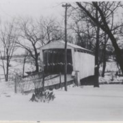
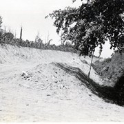
Covered bridge on the Little Chiques Creek at The Springs, south of Mount Joy. Carried away by flood and replaced by a steel bridge. Located on Longenecker Road, Mount Joy Borough
Provenance
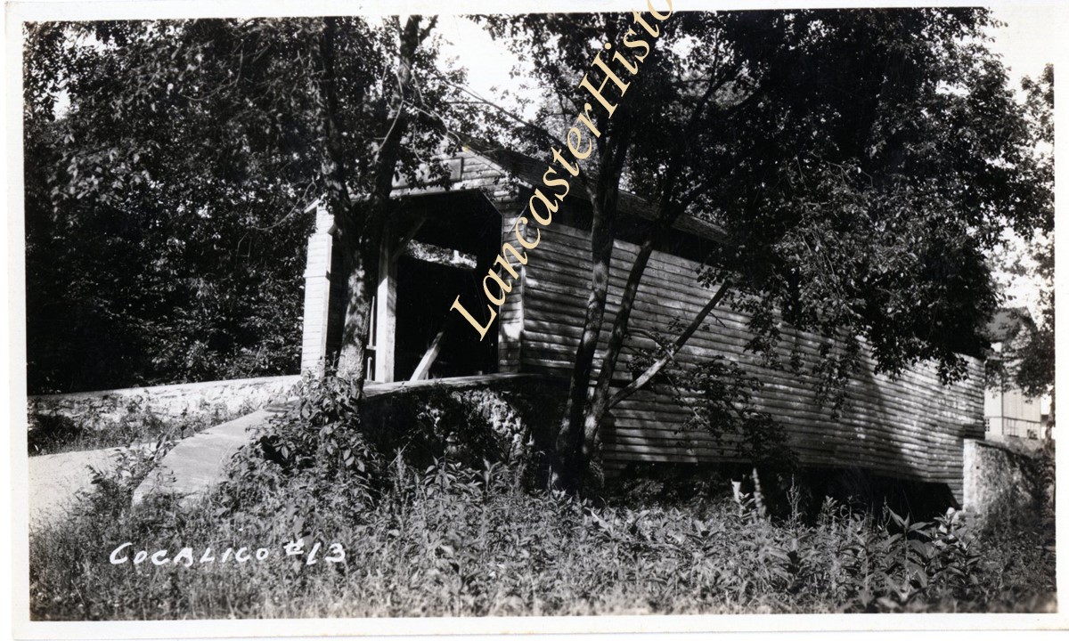
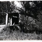
Lancaster County covered bridge photos taken by M. E. Schroll and Kathryn L. Sauder taken between 1956 and 1958.
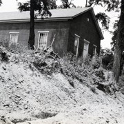
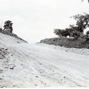
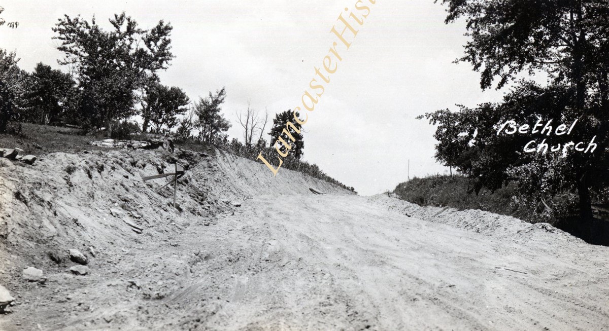
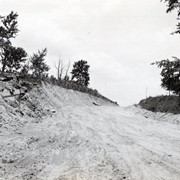
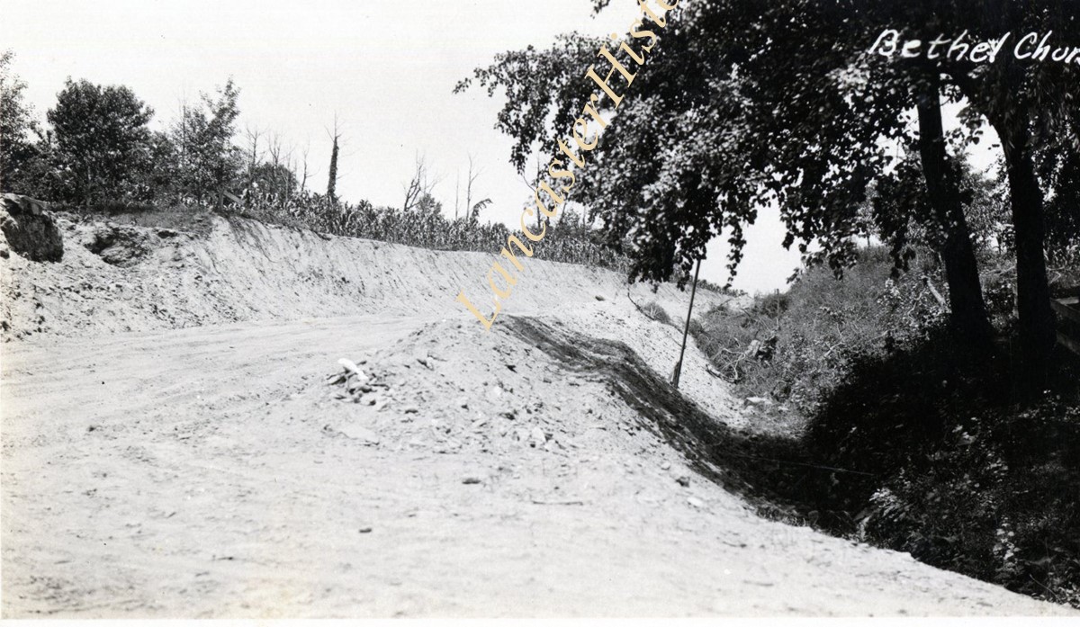
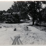
Bethel Church at Route 222 and Fulton View Road. Possibly during construction of what's now Route 222 - Robert Fulton Highway. Also known as Bethel Methodist Episcopal Church and Bethel Mennonite Church.
Provenance
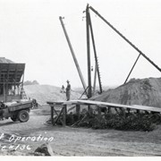
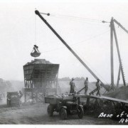
Photographs taken by Lancaster County during bridge repair work. Gift of Gordon Reed.