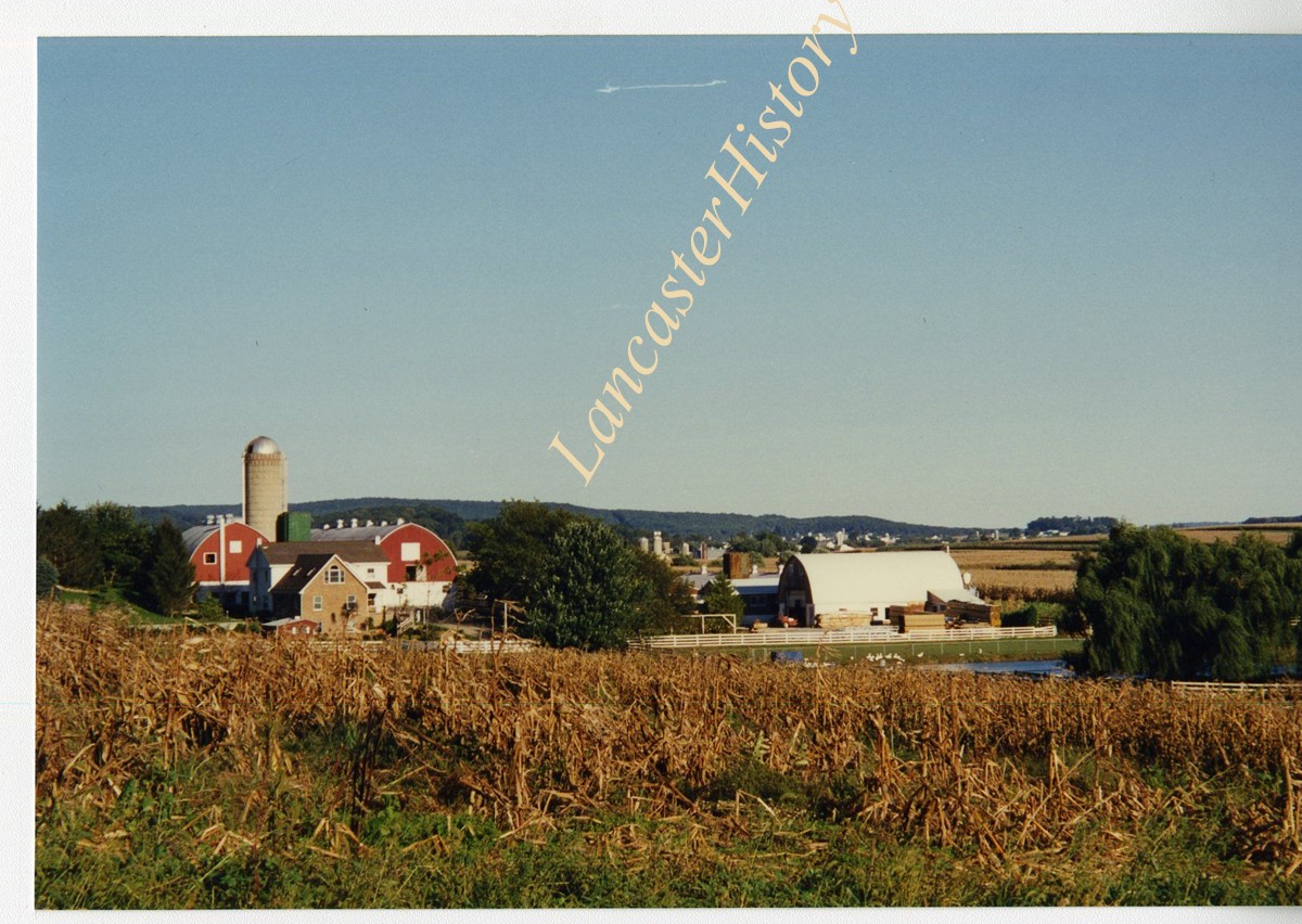
- Collection
- Transportation Collection
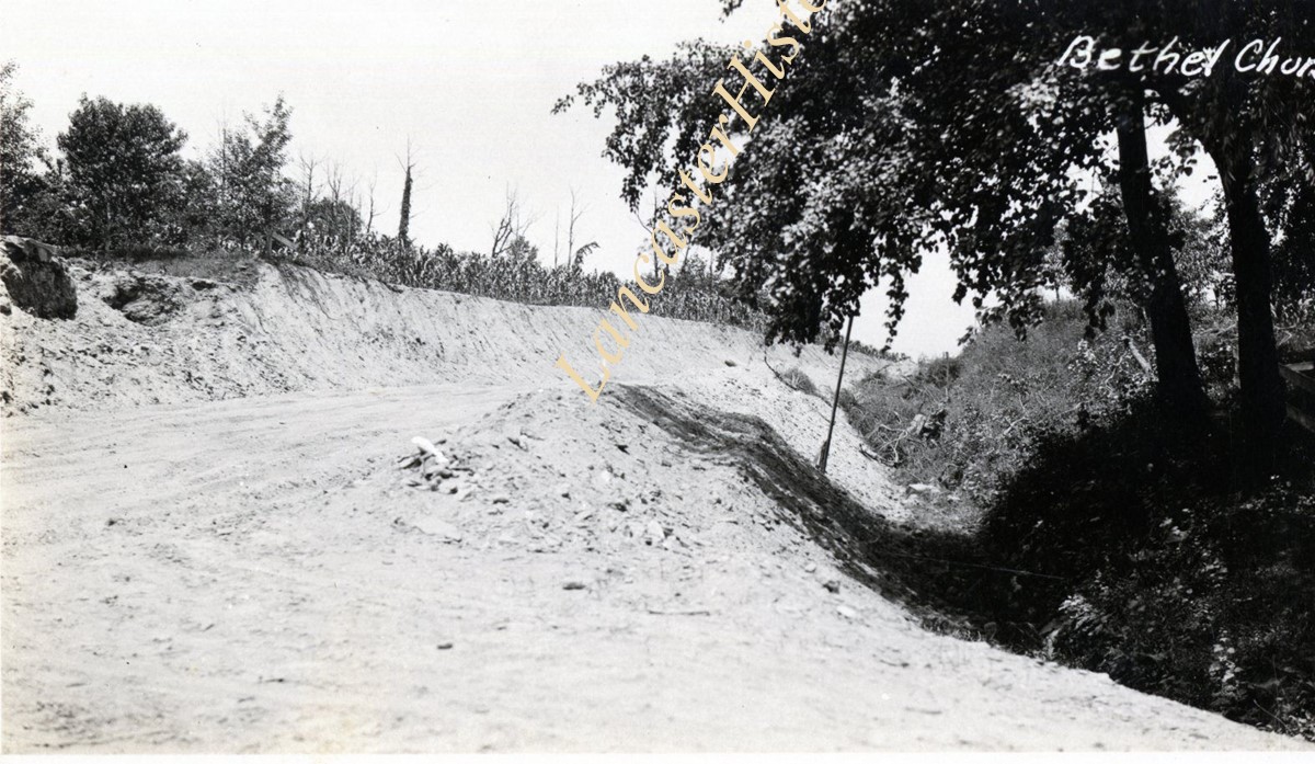
- Title
- Transportation Collection
- Object ID
- MG0123
- Date Range
- 1819-1977
Booklets
Brochures
Campbelltown, South Londonderry Twp., Lebanon County
Center Square Road Station
Chestnut Street
Christiana
Coatesville, Chester County
Columbia
�230 North President Avenue • Lancaster, Pennsylvania 17603-3125
717.392.4633 • www.LancasterHistory.org
Columbia, Ironville and Mount Joy